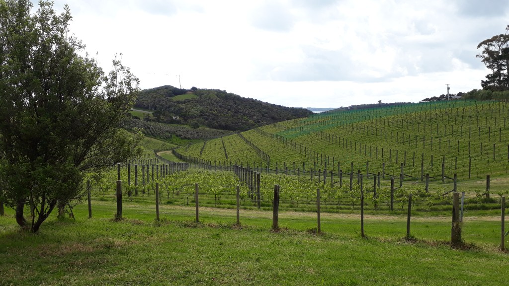
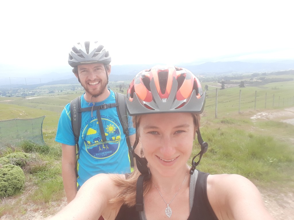
The Nelson region is the bread basket of New Zealand and along with world famous wineries, the area is filled with fields of vegetables, fruits and hops with local breweries almost as abundant as wineries. The other thing the Nelson region is famous for is mountain biking. These two activities can be combined in The Taste Trail (yes – you guessed it – another of the Great Rides), which quite frankly felt made for us.
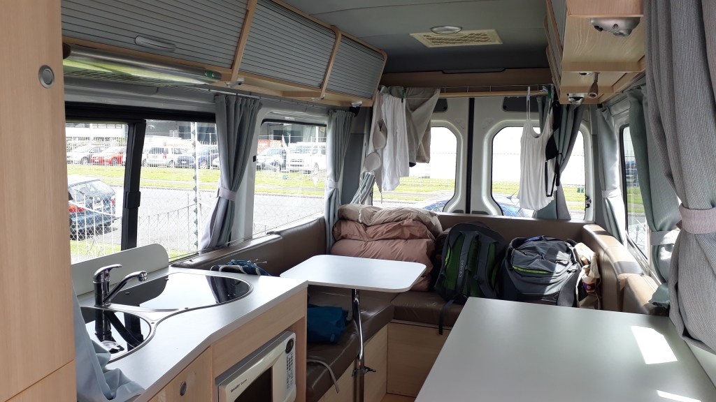
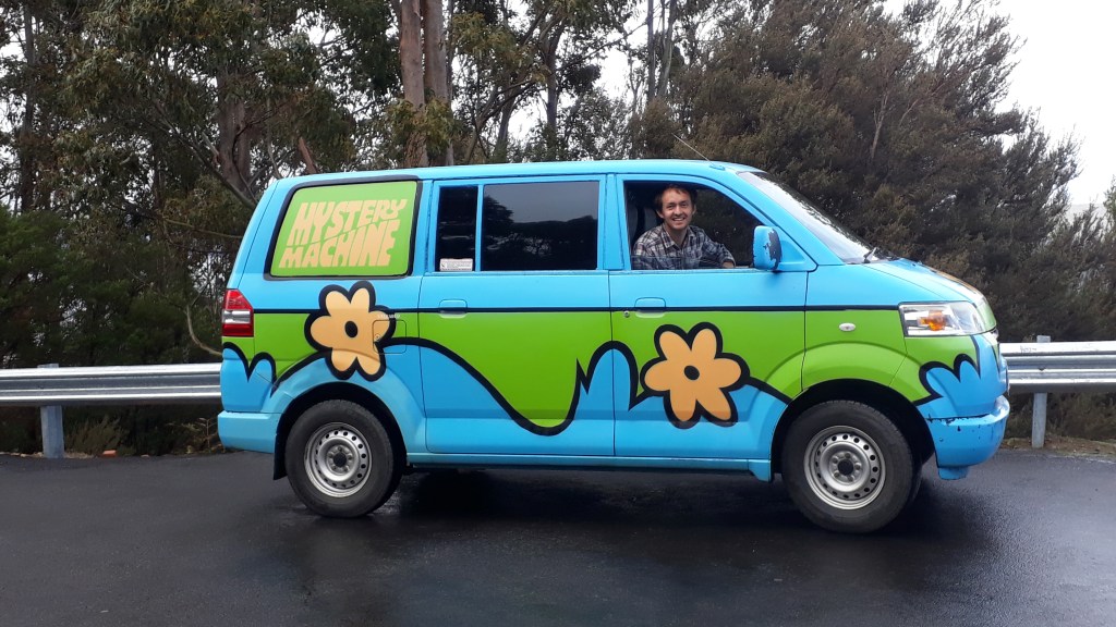
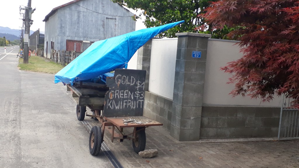
Given that a critical element of the trail is drinking, our first job that morning was to drive our camper to our overnight stop at the most westerly end of the trail in Kaiteriteri where you can also hire mountain bikes and has the added advantage of having a mountain bike park. The taste trail maps highlight participating coffee shops, bakeries, breweries, restaurants and wineries along the route although there are of course other none affiliated stops. The map does not mark the 10’s of local produce carts along the trail and even though we were visiting in early spring there were apples, kiwis, honey, beans, asparagus all on offer (we should have driven the route first and not stopped at the Nelson supermarket the day before!).
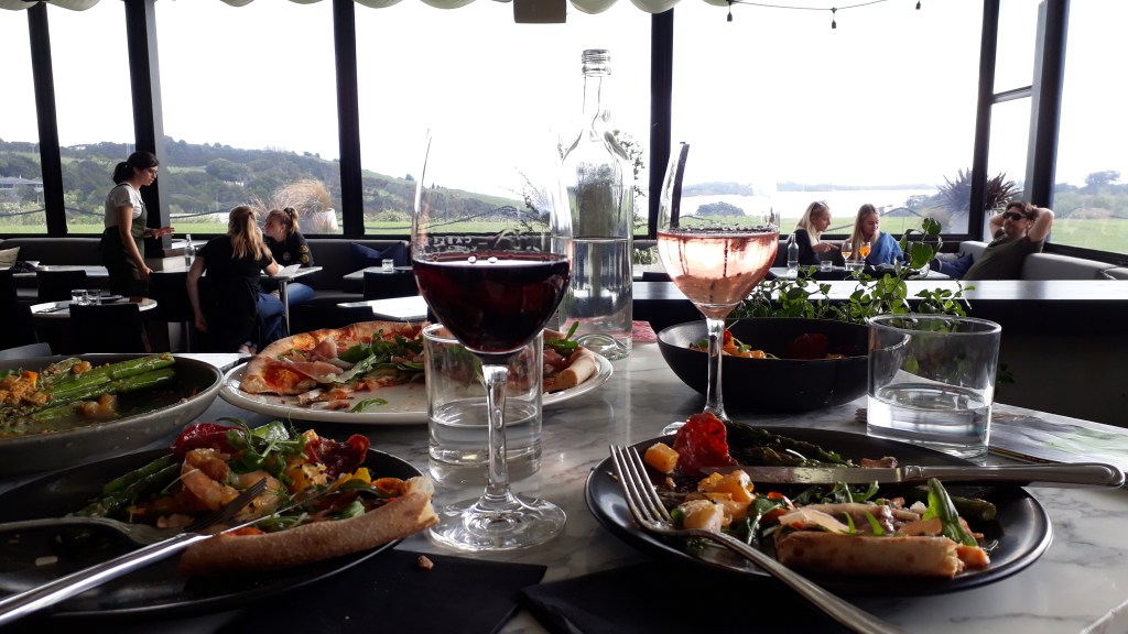
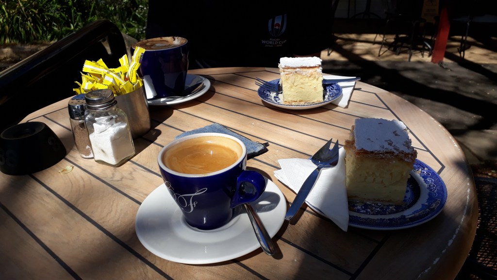
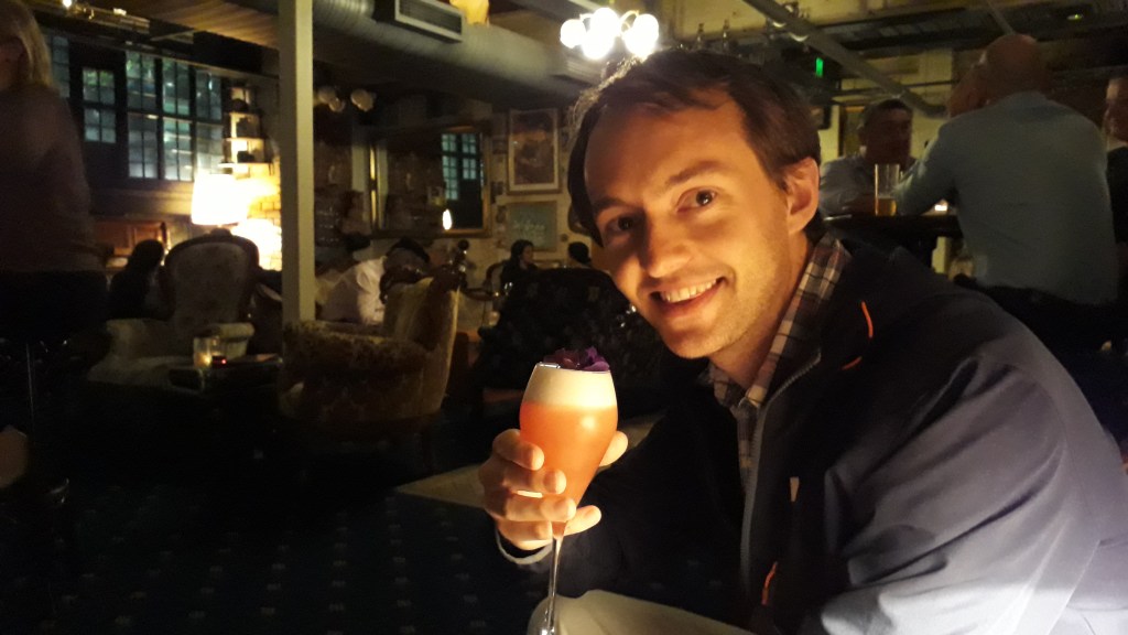
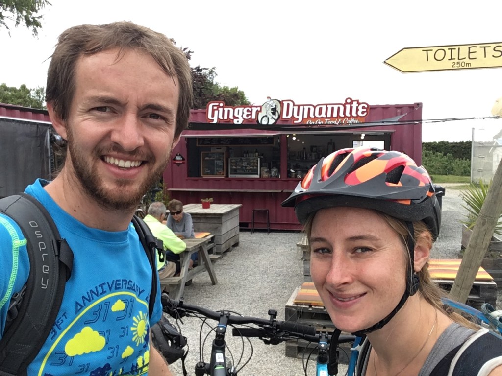
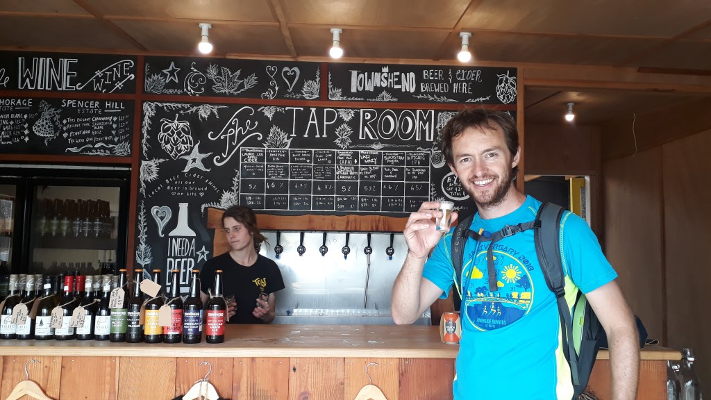
After picking up bikes and cycling for a hour heading out of town and into fields of hops and vines it was time for a break. As it was pre-noon our first stop was coffee and cake at Ginger Dynamite before we headed through some beautiful coastal scenery to Motueka. It was at this point that Claire discovered the best place in New Zealand: Toad Hall – a café/brewery/pub/juice bar/restaurant/shop which excels at everything and is probably the reason so many Brits emigrate here. On our first visit we headed to the brewery and sampled a variety of different beers and ciders before heading to the bar to quench out thirst.
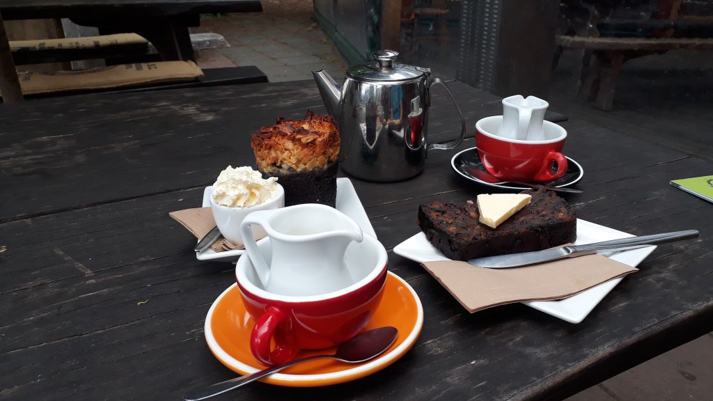
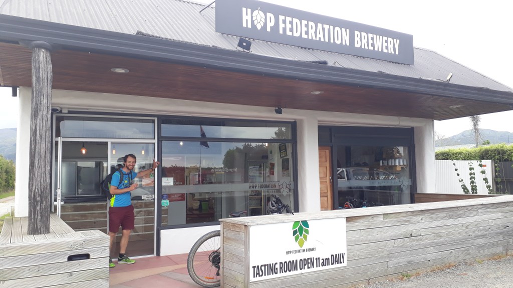
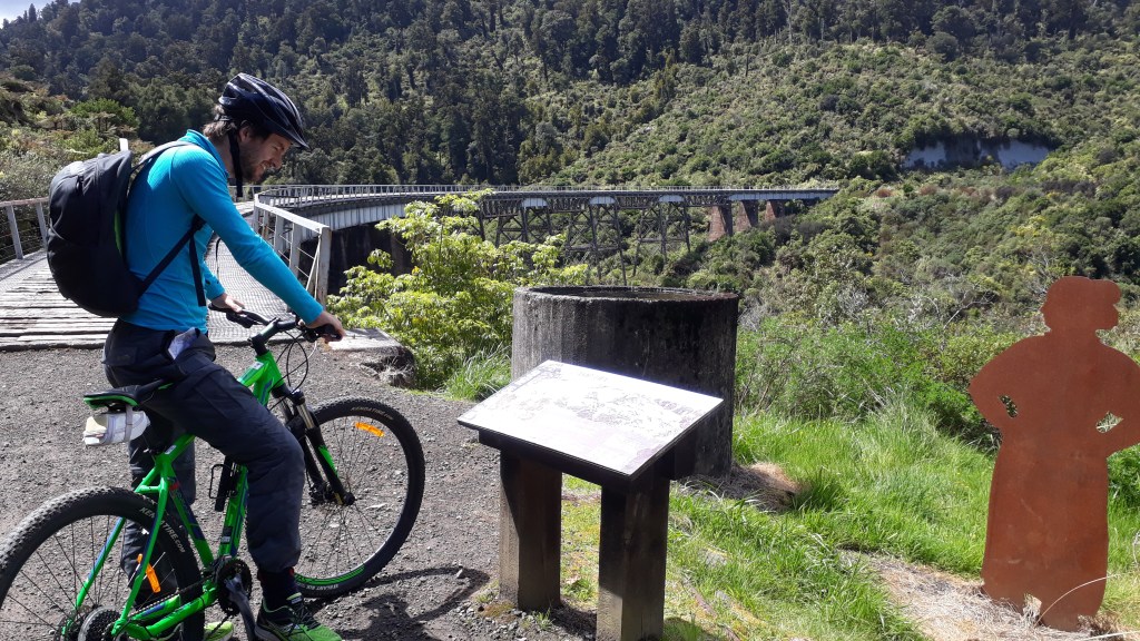
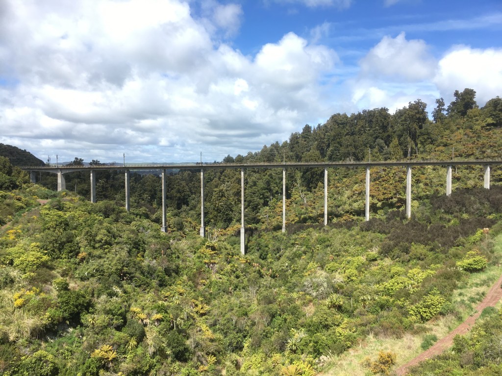
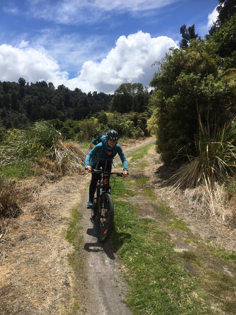
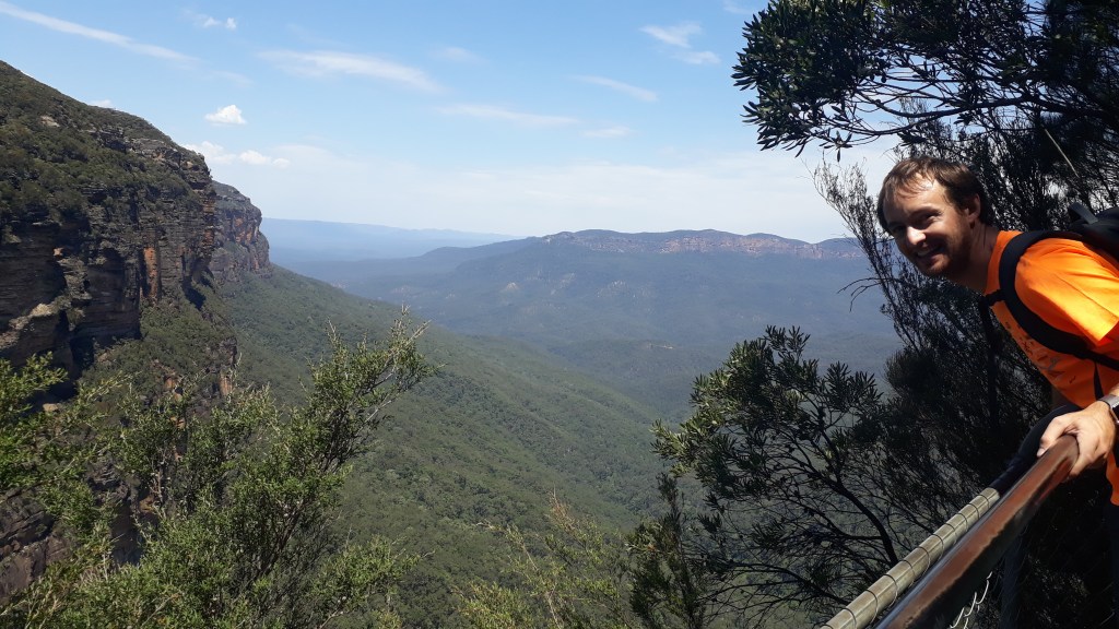
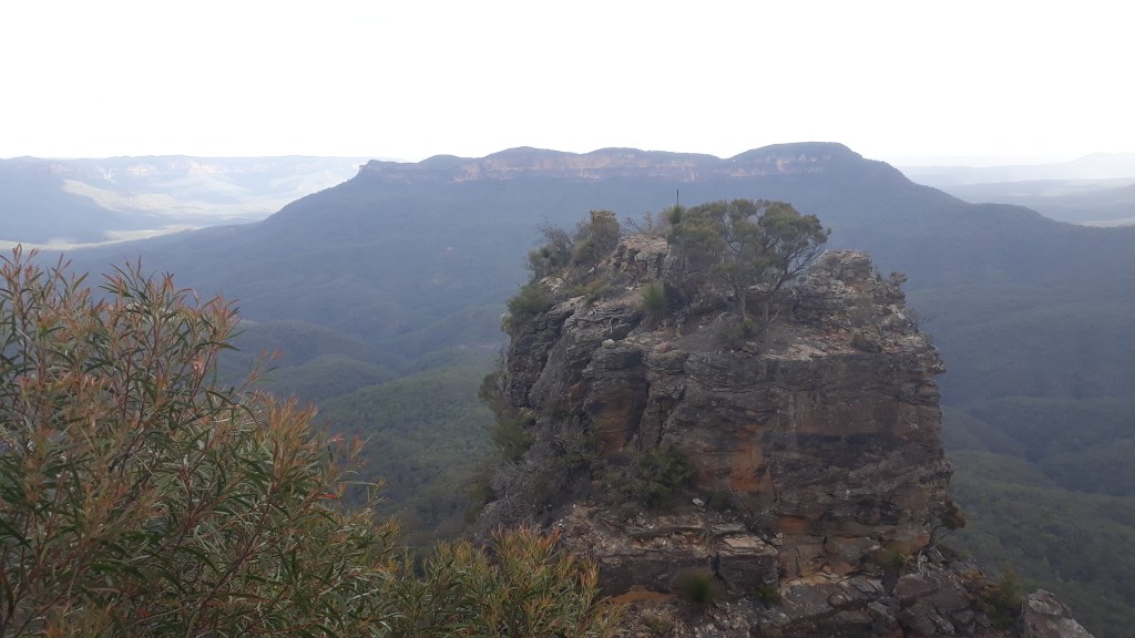
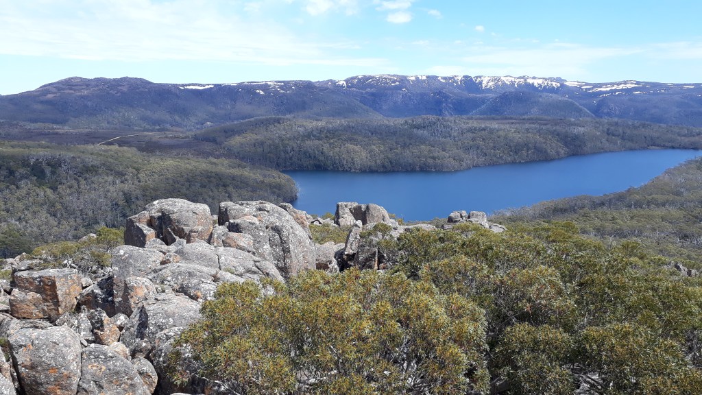
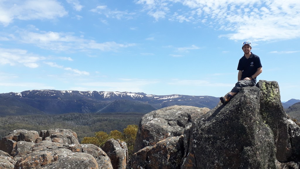
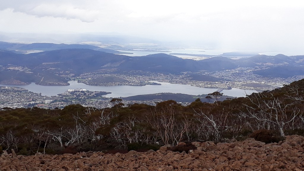
From Toad Hall our route headed off road and up hill! The trail guide describes this ‘easy’ section of the route as a ‘comfortable granny-gear climb to a highpoint with panoramic views’. Well…. the views are beautiful and worth the climbs but comfortable is not a word usually associated with the granny bike gear for good reason. After admiring the view and enjoying the downhill we stopped just outside of Tasman and decided to turn round and head back via a flatter on-road detour, instead of carrying on to the next foodie stop. This decision was in no way due to the cake section of Toad Hall closing at 4pm (we got there at 3:30pm – phew). After gorging and working it off on another hour’s ride we hopped into the Hop Federation Brewery for more free samples and left with rucksacks a few pints heavier!
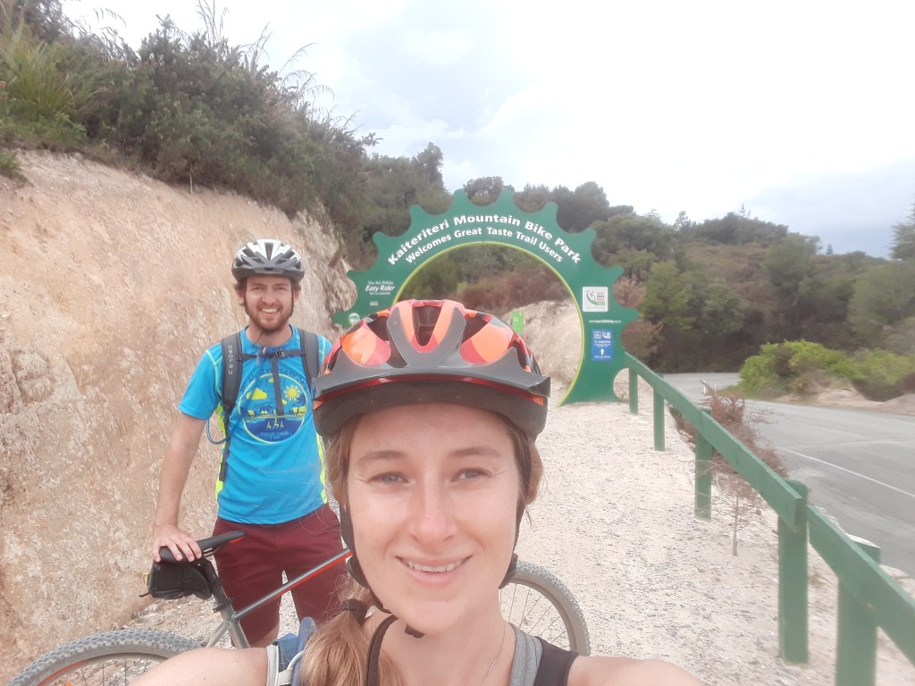
With all that Dutch courage, the mountain bike park proved irresistible on our return journey back to Kaiteriteri and we spent a final half hour hurtling around the tracks before it was time to return our bikes and prepare ourselves for an early start and more adventures.
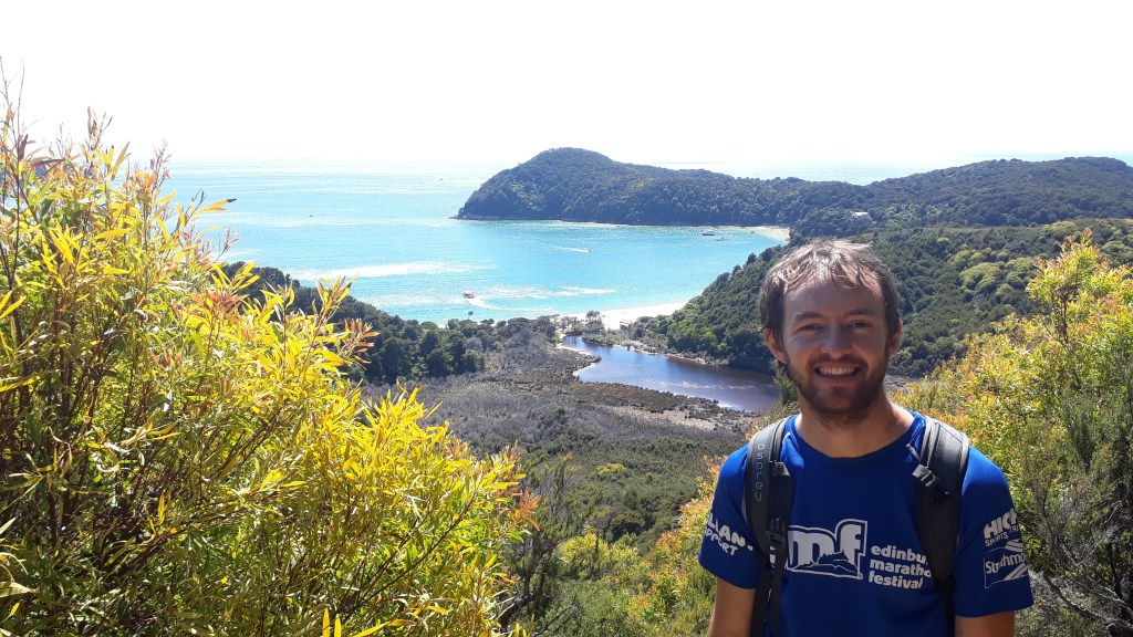
When planning our trip to New Zealand some friends who had been before told us that kayaking in Abel Tasman (and including an overnight stay in the national park) was one of their top activities. Abel Tasman is a relatively new national park, on the northern shore on the South Island and named after the Dutch explorer who first discovered New Zealand. The area can be explored via another Great Walk, which travels up the coast via cliffs and a few bays whose navigation rely on you getting to them at low tide if you want to avoid getting wet. In contrast, our exploration of Abel Tasman relied on us getting wet as we would be spending the next two days doing the Source to Sea adventure package with Abel Tasman Canyoning and Kayaking.
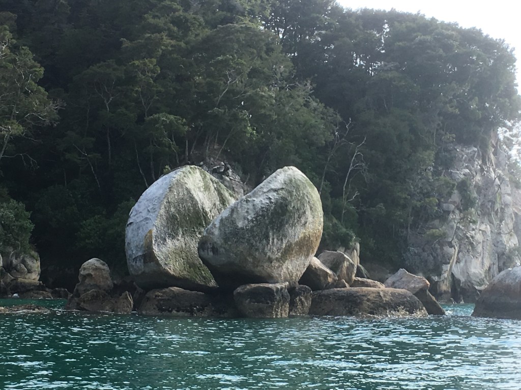
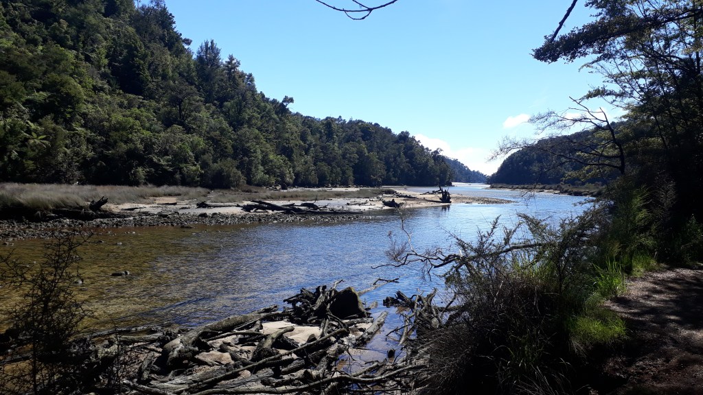
We met up with our group for day one at 8am to get kitted out for the day’s adventures and take a water taxi up the coast to Anchorage Bay, via the well-known split apple rock formation. After disembarking onto a beautiful beach we grabbed our wetsuits and headed off into the bush, along part of the Abel Tasman great walk before cutting off and heading further inland to the Torrent River. Walking and carrying the wetsuits was hard work on a hot day and we were ready for a lunch break and cool down in the crystal clear river water by the time we got there.
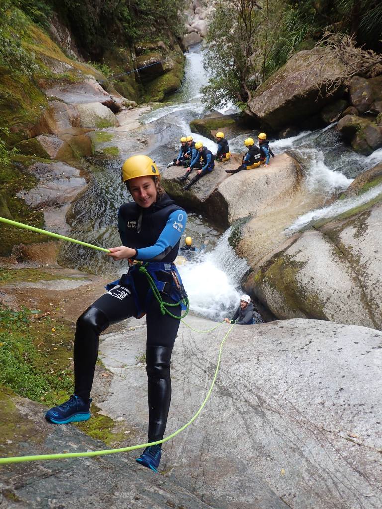
For the next two hours we slid, swam, zip lined, jumped, climbed and absailed down the river rapids. Highlights have to be the abseil behind a waterfall to dive out through it at the bottom, and the ultra-high jump (‘you need to commit and run off the top of the cliff or you will hit the rocks below’) which Claire and two other in the group were crazy enough to try. Gareth is less keen on falling and especially into water, so he stuck to the baby jumps! We ended the canyoning by sliding into Cleopatra’s Pool, to the surprise of the people bathing there, and heading back to Anchorage Bay.
OLYMPUS DIGITAL CAMERA 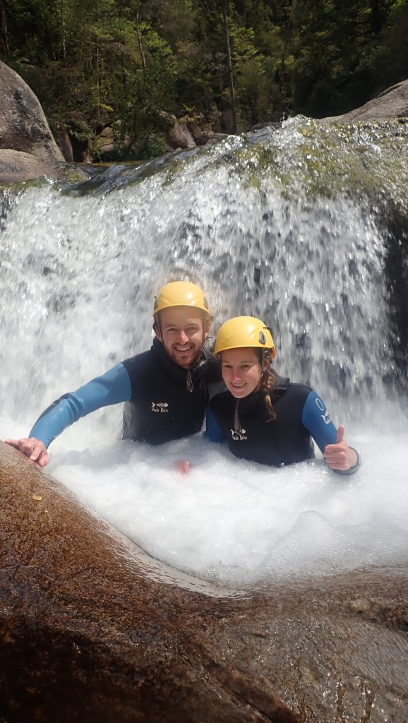
OLYMPUS DIGITAL CAMERA 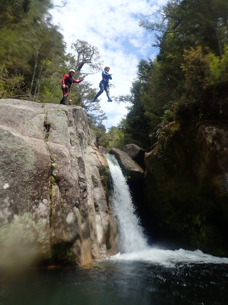
OLYMPUS DIGITAL CAMERA 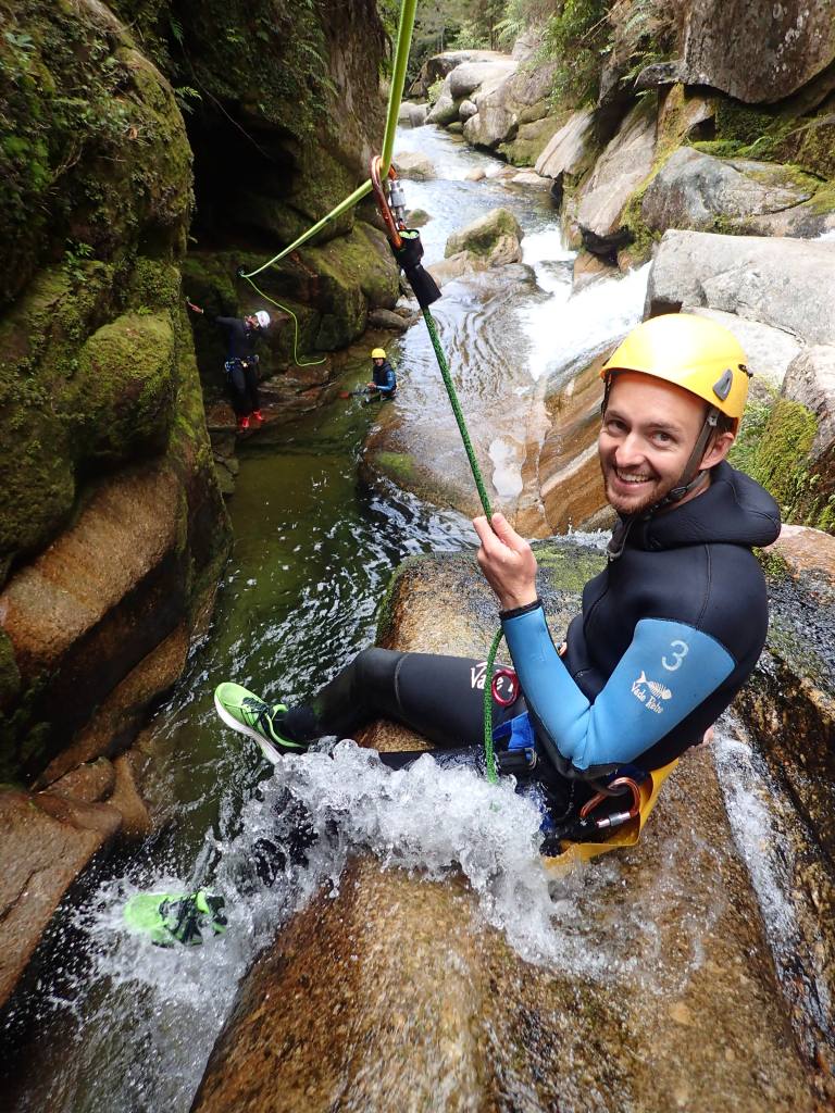
OLYMPUS DIGITAL CAMERA
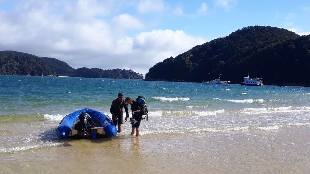
Whilst the rest of the group headed back on the water taxi, we were left marooned on the beach to wait for a pick up dingy from The Aquapackers, which was basically a floating dormitory in the middle of the bay. This might sound very sketchy, but it was completely amazing! The Aquapackers has room for 20 people, although there were only 12 the night we stayed and is run by a couple, Jane and Mark, with help from local boy Wade. The floating cube isn’t very big, but it does have 3 floors, one mostly under the waterline and another mostly open deck, where we ate our evening meal.
Now the evening meal is the thing that made the place most special (to Gareth at least), but there was also the amazing views of the bay and the swimming in the sea to be enjoyed first, followed by an open air shower on the edge of the boat (swimming costumes remained on!).
Now to the meal. Considering that the boat can hold twenty people, you might have expected that Jane was concerned that another twenty might turn up that evening wanting to be fed. The spread was enormous, with chicken drumsticks, chicken skewers, sausages, burgers, many different salads, pastas, potatoes and coleslaw to name just a small selection. Claire’s Gran would have struggled to over-cater this much! The following morning, to help us recover, we were presented with an endless supply of pancakes, freshly made bread with local jams, cereal and so much fresh fruit.
It wasn’t just the food that made The Aquapackers such a great place to stay, it was also the good company provided by the other guests who came from a selection of fine European nations (Germany, France, Iceland and Holland). Although the Germans did struggle ein bischen with playing Cards Against Humanity. Jane was also very friendly and would tell anyone who would listen about her scepticism of vegans (I think getting certain supplies can be difficult when you live in the middle of the sea). Wade too was full of witty anecdotes (he was filling in for Mark, who was away on some other business).
The following morning we had some time before journeying over the headland to meet our kayaking group, so we accompanied one of our companions from the night before on the start of their walk along the Able Tasman Great Walk. Sarah was from Germany and was travelling in New Zealand alone, but seemed to be having as great a time as we were and we had got on really well with her the night before. We walked almost as far as Cleopatra’s Pool again, except via a different route. As the tide was in it meant a bit of a detour for Sarah.
After leaving Sarah, we followed the path back past Anchorage Bay and enjoyed some great views into the bay and further along the coach to more tropical looking beaches. After slightly longer than we had expected, we dropped back down to Observation Beach to meet our guide and trip mates for lunch, before starting our kayak adventure.
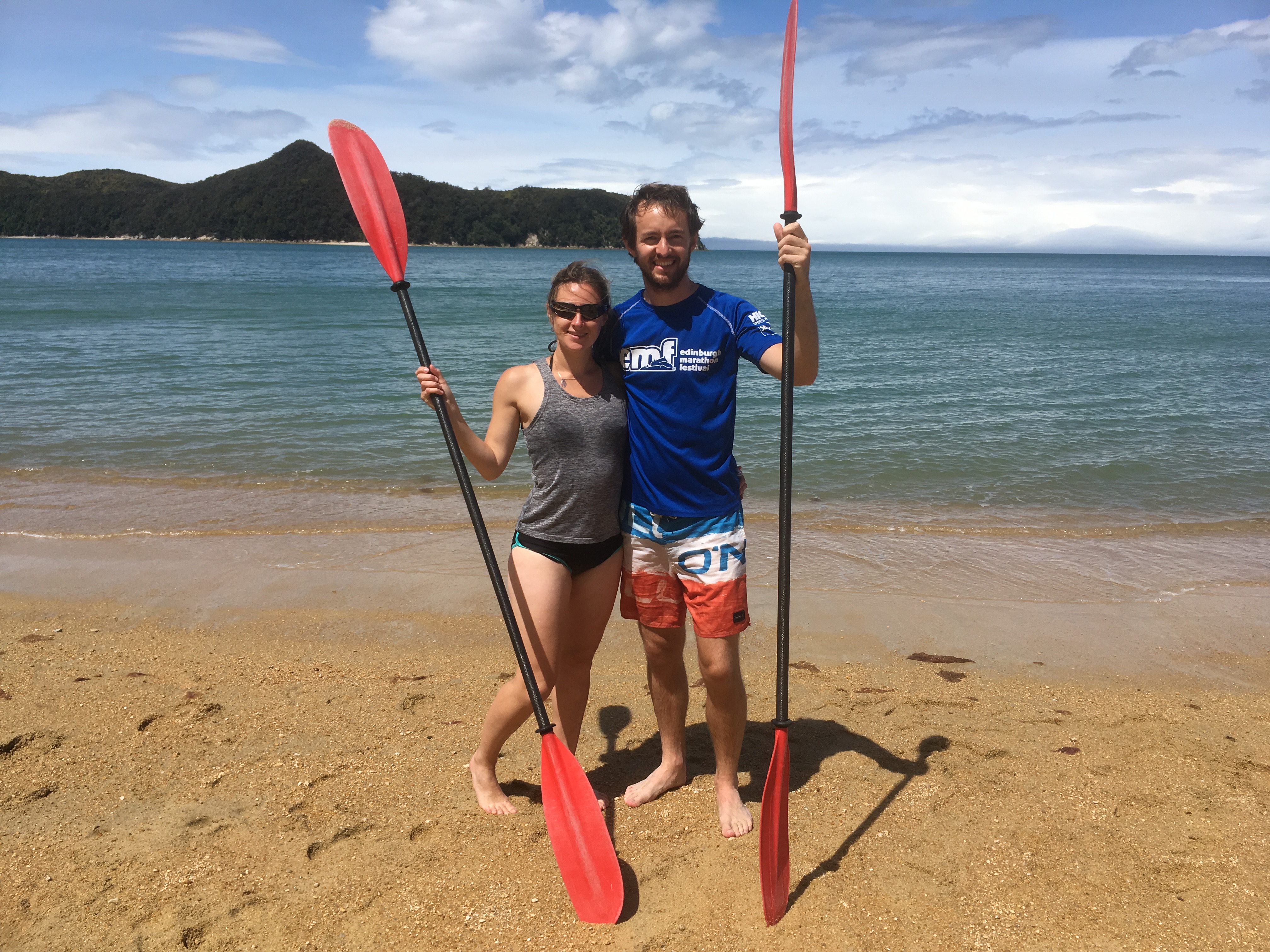
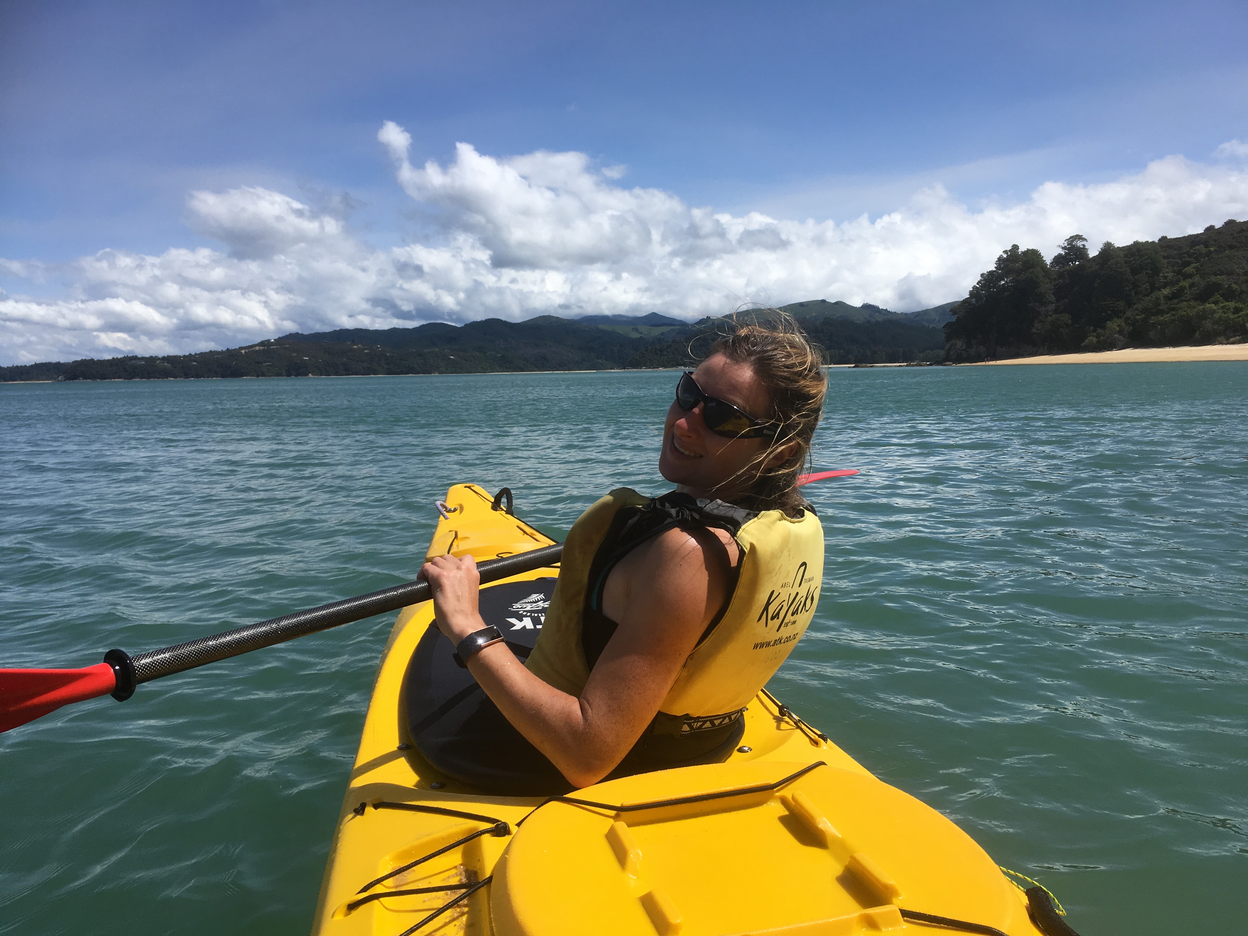
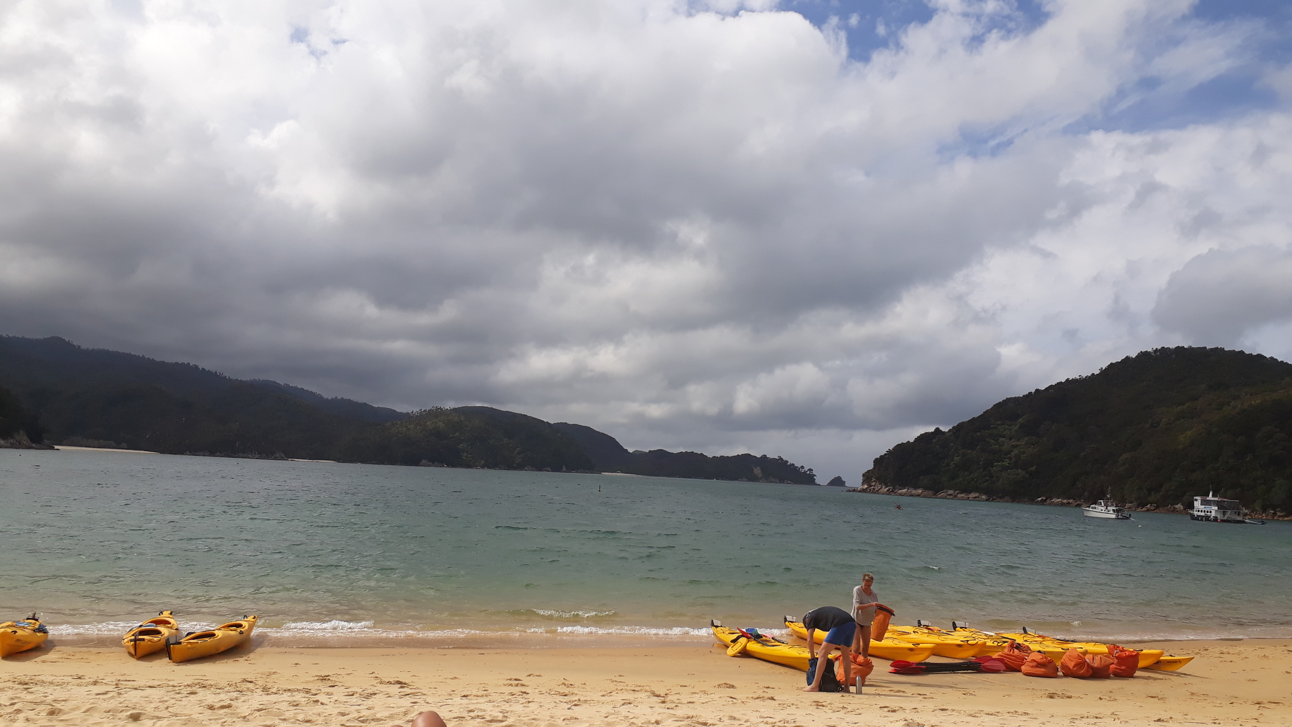
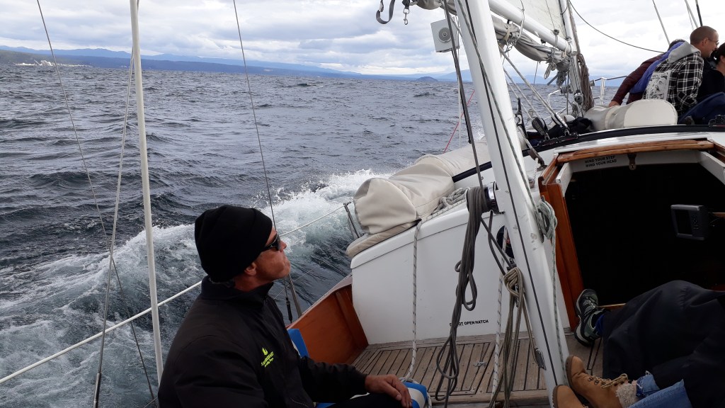
The first part of the kayak trip was something a little different. We joined the four double kayaks together to form a raft and the two people at the back corners (one of which was Gareth) hoisted a sail, which the guide had attached to their paddles, into the air, while their partners (one was of course Claire) held onto the bottom of the sail at the other end. After a few false starts and some manoeuvring to catch the wind, we eventually managed to get out raft going along at (literally) a rate of knots. It was pretty fun, although Gareth complained of a sore arm afterwards and Claire felt robbed of some of the kayaking.
We then kayaked past Adele Island to Apple Tree Beach (where British settlers had tried and failed to grow apple trees) for a stop to enjoy the white sandy beach, to have a quick swim and to inspect the lagoon behind the beach. The final leg of the journey took us back to where we had caught the water taxi the morning before. We weaved our kayak in between the rocks that jutted out into the bay and also spotted several stingrays, which was an unexpected bonus of the trip and a consequence of the tide being further out. After a hot shower and farewell coffee we said goodbye to the North Coast and started our journey south.