Vancouver Island: Made it to the Pacific!

After our ferry delays we finally arrived on Vancouver Island to a very soggy evening where we travelled a short way up the east coast to our overnight stop in a little cabin near Qualicum Beach. This is supposed to be a great family beach resort – but we chose staying in the dry over an evening walk! The next day we were traveling to Tofino and Ucluelet on the West coast and our Airbnb host had advised us to get an early start to allow us to arrive there by lunch time. We should have listened, but a lazy morning was too appealing after arriving late the night before!

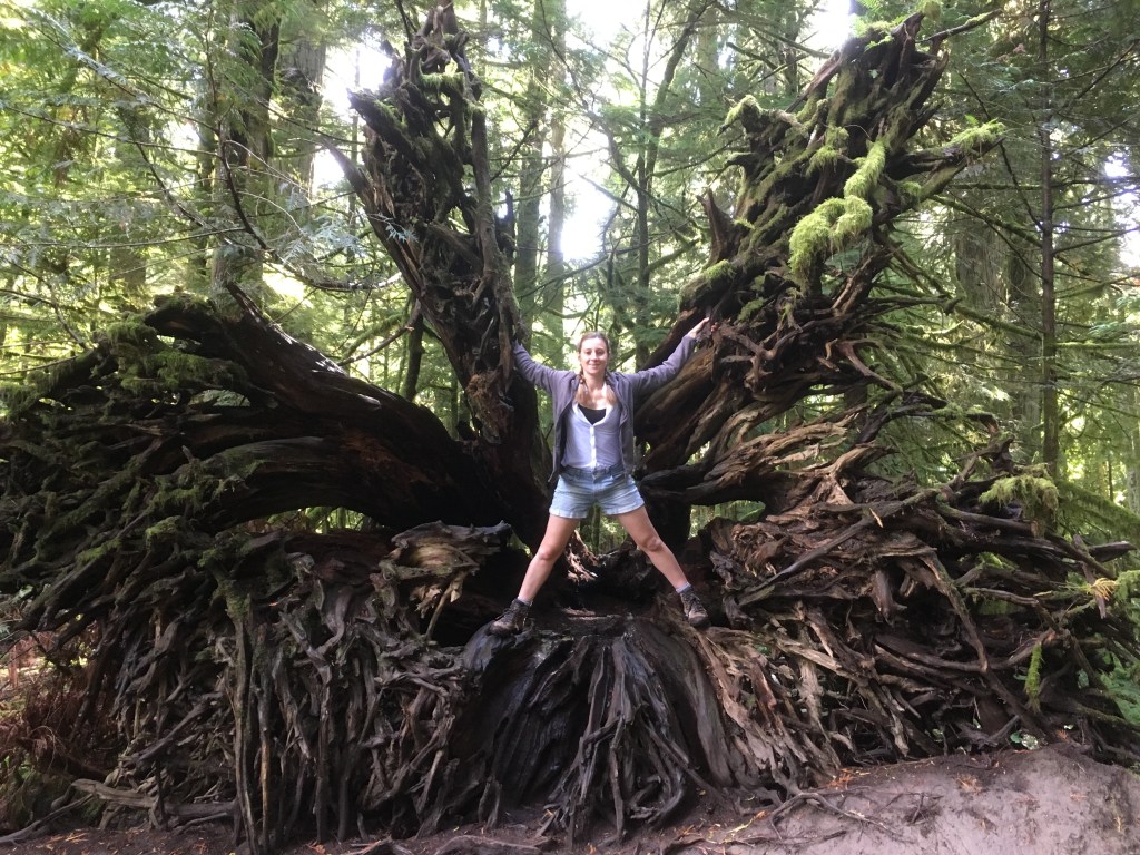
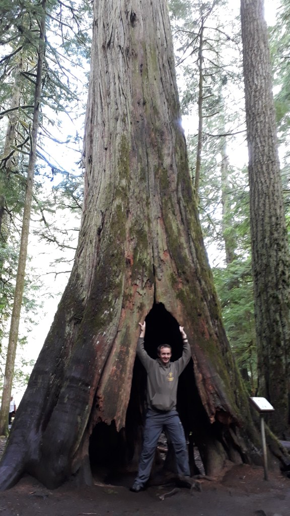
We eventually got going at 10am and headed to Catherdral Grove after a brief stop at the Old Country Market at Coombs for coffee and pastries, and to admire the goats on the roof of the shop. Catherdral Grove is an area of forest famous for its huge Douglas Fir trees which were far too tall to capture on camera. The trees were spectacular and climbing all over them was lots of fun!

Claire: ‘I am Groot’ (Marvel’s Guardian’s of the Galaxy reference)
Strong man Gareth trying to break the tree in half

We made a brief stop for supplies and petrol at Port Alberni, which we were told would be much cheaper than the tourist towns on the west. Then we were on our way again for a short while before we hit really bad traffic! We were stopped at the side of the road for about an hour for blasting on the only road to Tofino, so we had our picnic in the car and then got out to talk to our fellow marooned travellers. Once the road had been cleared of flying debris we were on out way again.

Mini Islands and rock formations of the coast of Ucluelet in the Pacific Rim National Park

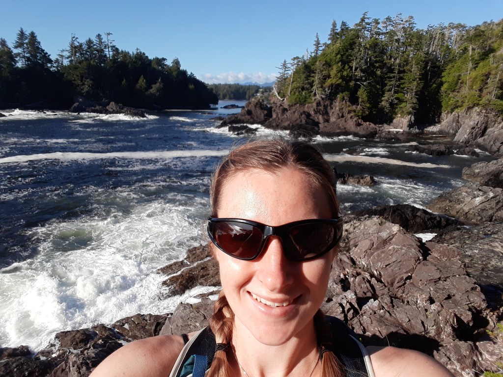
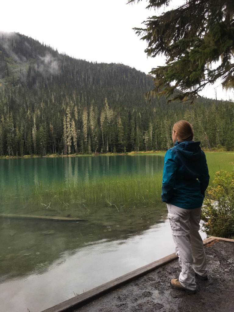
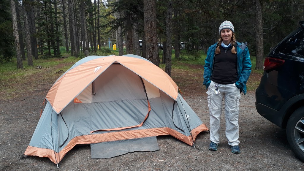
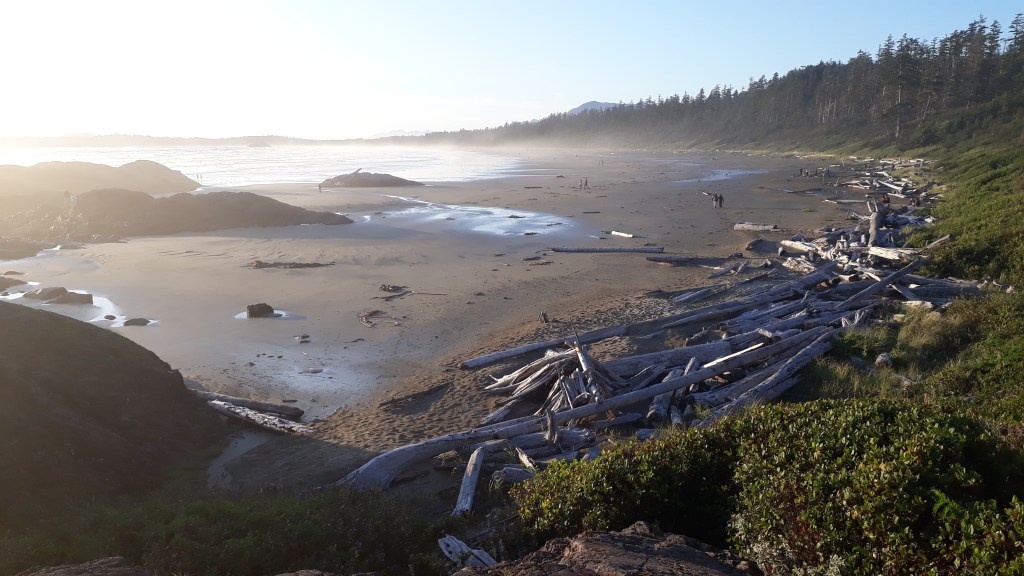
When we finally arrived in Uclulet we parked towards the south end of the peninsular and did the Lighthouse Loop section of the Wild Pacific Trail. It was full of amazing views made better because of the glorious sunshine. We had finally made it to the pacific coast! We then headed up the coast to our campsite, pitched our tent and headed down to the campsites private beach for a walk and to dip our toes in the Pacific Ocean. The ocean was very cold, but the beach was picturesque and near deserted.

In the evening we headed to a takeaway on the edge of Tofino that had some good reviews, “The Wildside Grill”. We ordered some shrimp tacos, some gumbo and a ceasar salad, the first two of which we had never had before. Both tasted absolutely fantastic and despite eating them by torchlight, we enjoyed from our first taste and will definitely have them again if the opportunity arises! We absolutely recommend the Gumbo to anyone planning a trip out this way!

Not many campsites come with a beach like this! What a treat!

The next morning we headed back to Tofino to get breakfast and investigate some kayaking options. Unfortunately we discovered that the trips that really appealed (particularly the Broken Island group trips from Ucluelet) leave at 7am-8:30am so we were a good hour late. We made a note to ourselves to research and book in any future activities that we really wanted to do, and after a wander around Tofino decided to continue with our journey back to the east coast (with yet another 1 hour delay for blasting).

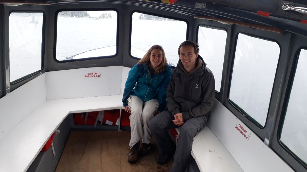
Our orginal plan had been to camp on Newcastle Island the next night, which involved leaving the car on the mainland and taking all our supplies for the night across on the mini passenger ferry. A camping adventure on our own private Island! However, by the time we had arrived back on the west coast the weather had turned, and the prospect of a wet, cold, dark evening suddenly became less appealing (we must be getting old!). Instead we did a quick rethink, found an air bnb and spent an hour wandering around the Island (camping there on a warm, dry summer evening really would have been special) before catching the last boat back at 4:45pm for an evening of downtime!

On our island hop to Newcastle Island. Shame about the change in weather – but that’s what waterproofs are for!

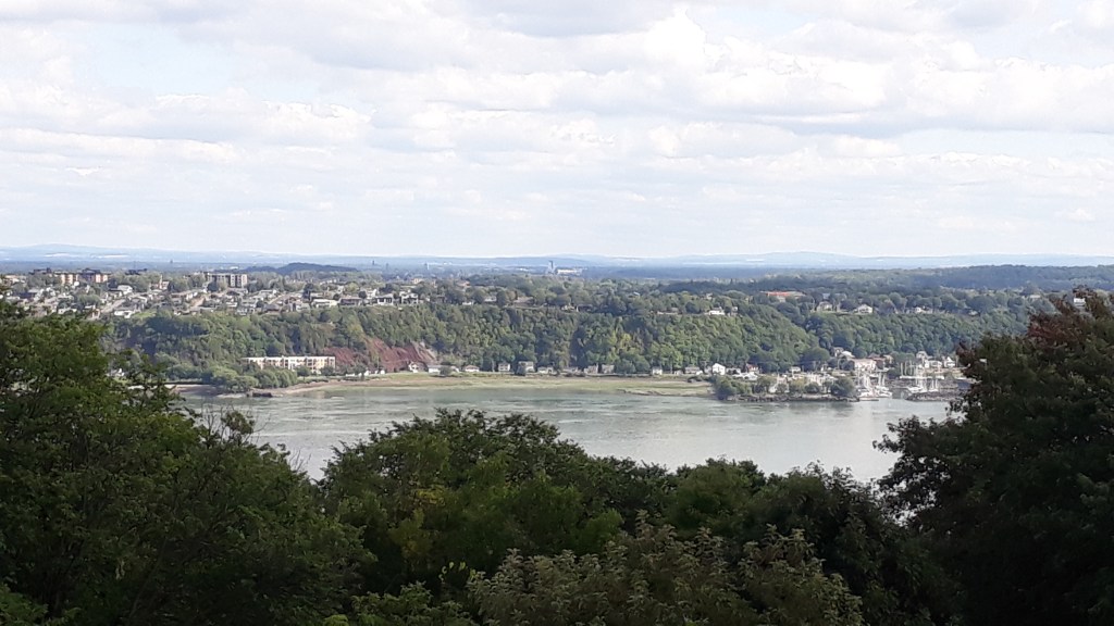
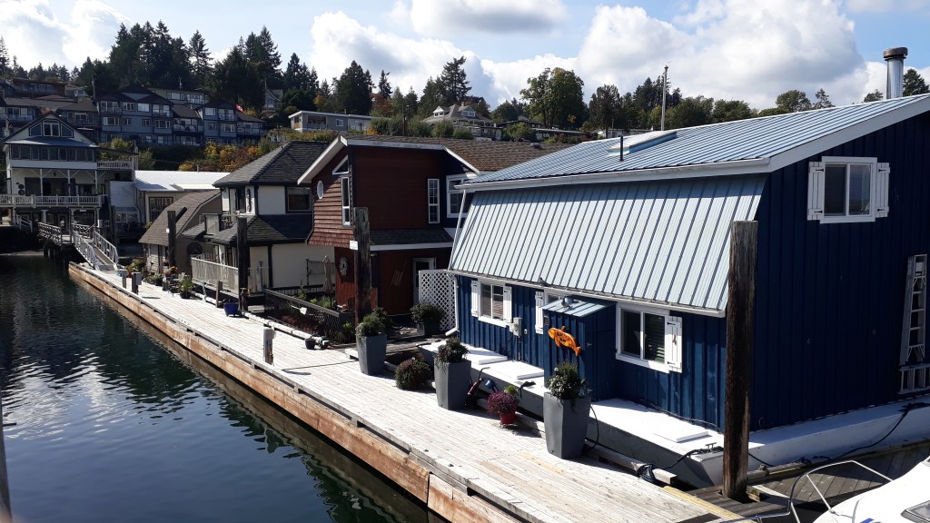
Another benefit of last nights decision making was that we only had a 90 minute drive to get to Victoria the next day so could enjoy a later start, with plenty of time for a couple of stops enroute on a beautiful sunny day. First on the list: Cochian bay with fabulous views across the Strait of Georgia, a great little bakery (picnic supply restock time) and floating houses.

The Strait of Georgia is so sheltered in Cowchian Bay that people were living on floating houses

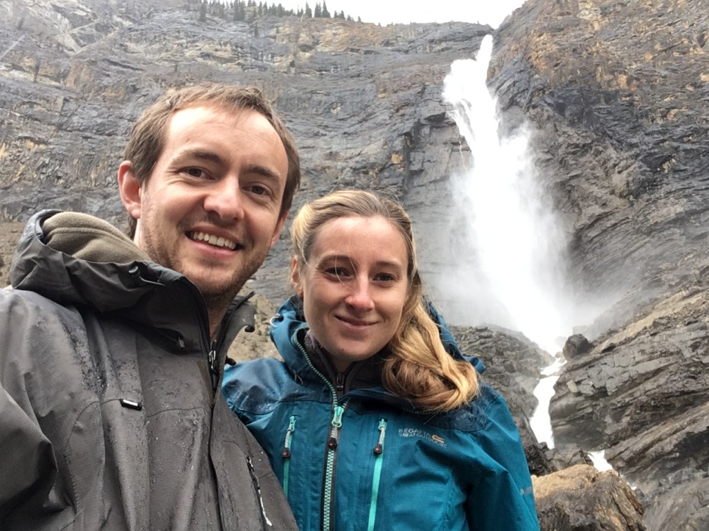
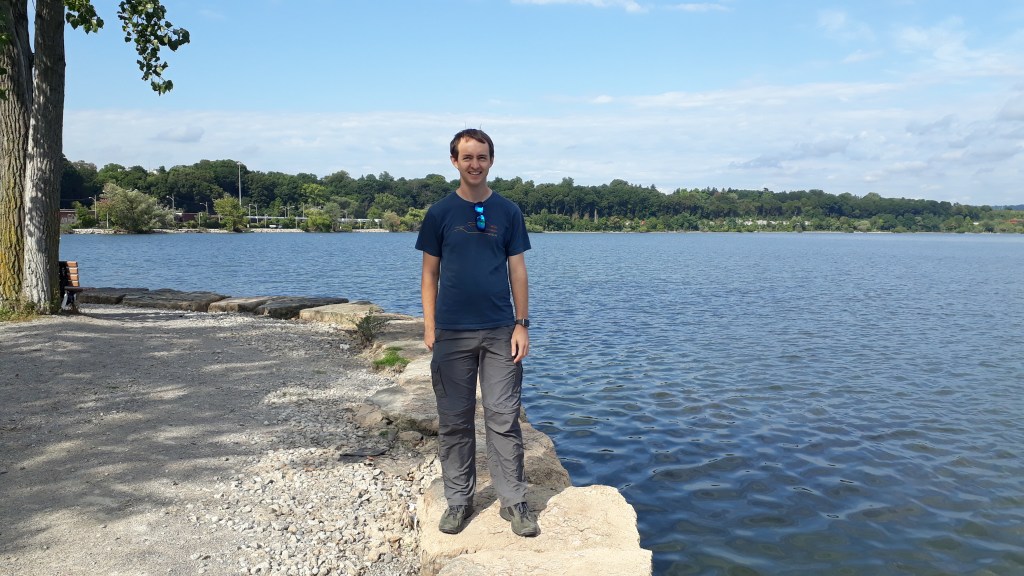
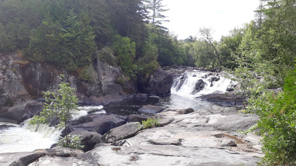
Our picnic stop of choice was Goldstream Park, a nature lovers paradise less than 20km from Victoria, followed by a afternoon walk. We had two options easy valley walk along the Salmon spawning stream to the ‘other’ Niagara falls, or tough hike to the top of Mount Finlayson. Can you guess which one we went for?

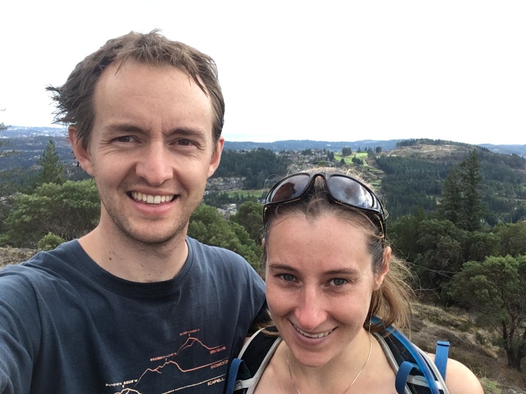
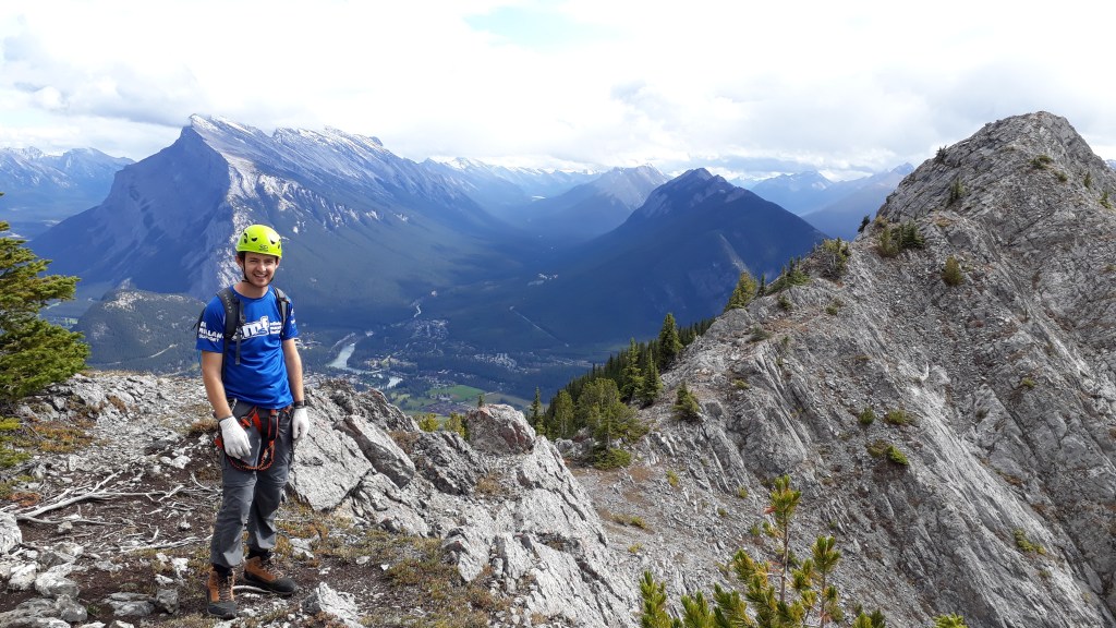
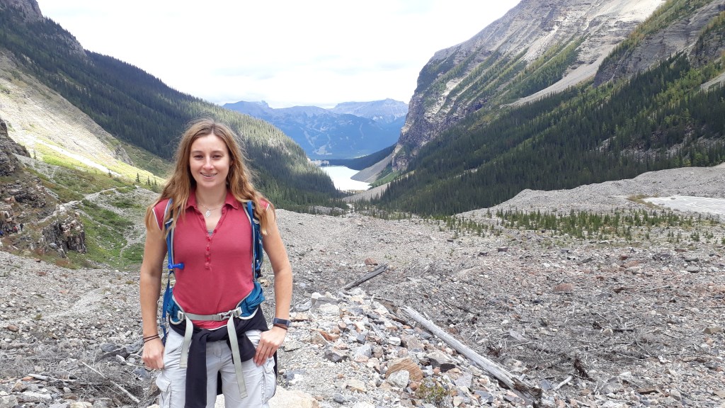
The walk up Mount Finlayson turned out to be a wonderfully challenging scramble (made more accessible by frequent route markers on the rock faces to show you which line to take). It was brilliant and Claire was happy we had snuck in another adventure (it went a good way to appease for our kayaking fail) and we both enjoyed the views at the top. Next stop: Victoria.

Celebrating reaching the top of Mount Finlayson. It’s not a high peak but definitely a tough but rewarding climb.

The Okanagan Valley and Route 99

When Gareth had visited Canada with his family back in 2003, they had stayed with a very lovely family, “The Young Ones”, who had been friends of Gareth’s parents when they came over to teach in Canada for a year in the mid-80s. So it was only fitting for us to pop in and say hello. Jim and Erica Young live just outside a town called Vernon in the Okanagan Valley (a wine growing region of Canada) in a lovely Swiss chalet style house, which brought back a lot of memories for Gareth.

Gareth with Jim and Erica and a camera shy Poppy the dog

Jim had got a photo album out of the time that the Thomas’ came to visit and showed Claire all that they got up to. There was lots to talk about and the time passed very quickly, but not so quickly that we didn’t have enough time for Erica’s delicious Egg Pie – yum yum!

On the road again, heading west. It turns out central BC is absolutely beautiful! We couldn’t resist a photo stop at the picturesque Kamloops Lake, before entering the microclimate of the Fraser river area, a semi arid old Gold Rush country which has over 300 days without rain per year. We left the Trans Canada Highway and pulled onto Route 99 towards Whistler. It was an fantastic drive past mountains, lakes, Indian reserves and the impressive canyons of the Fraser river valley.

Kamloops Lake – the far end from the city

Our overnight stop was at Lilooet which sits on a shelf above the Fraser River canyon and is accessed from the East by a massive bridge spanning the river. It is a hot dry gold mining boom town, which also forms the headquarters for the St’at’imc (Lillooet Nation) and is one of the longest continuously inhabited settlements in North America (over 1000 years). That evening we decided to take a walk into town from our campsite on the Lower Shelf along the river. After walking along the river for a few hundred meters and coming across a few disturbed bushes and several piles of berry seed filled faeces, Gareth spotted what he though might have been a bear’s head poking out of a bush in the distance and got spooked. He got Claire’s attention and we reversed back down the path as quickly as we could! Potential bear attack averted! We then drove back up to the top part of town and Gareth consoled himself with and A & W Teen Burger and a root beer as he wondered whether he had just been seeing things.

We got up early the next morning and headed further along route 99 and back into the more temperate, wet climate that the rest of BC is known for. We stopped just outside of town to have a look out over Seton Lake, which was pretty in the early morning light and a good place to wake up with a coffee.

Seton Lake

If it hadn’t been for the coffees we might have thought that we were seeing things, as down by the lake we heard and then saw a truck travelling along the railway tracks, attached to the rails with train wheels! Not sure how these work, but must be “a thing” in Canada.

Our first walk of the day was Joffre Lakes Provincial Park, a set of three lakes leading to a glacier that had been recommended to us by several people on our trip and was supposed to be a good place to stop and stretch the legs. We only had time to visit the first of the three lakes, but the colours of the lake were fantastic, even on the misty morning.

This first of the three Joffre Lakes

Our next stop was Whistler. As we were outside of the snowboarding season and Claire had been here before, we had not planned to stop for long before we had to leave to catch our ferry to Vancouver Island. That meant that we opted for two walks in the valley rather than heading up the gondolas (especially as the mountain tops were all covered in cloud). First up – a woodland walk to Rainbow Falls, a pretty little waterfall in a some hillside woods surrounded by mountain biking trails. We were very jealous of the biker that past us as it would have been an excellent place to play if we had a bit more time!

Gareth exploring one of the trucks

Our second walk was to a suspension bridge and train wreck site. In 1956 a speeding freight train came off the tracks, causing a delay of 3 days to one of the main routes through Canada (puts East Coast trainline delays into perspective!). The unsalvageable train carriages were cleared from the track, left scattered across a wood between the track and the river and have since become graffiti works of art and temporarily part of a mountain biking course.

The suspension bridge to access the train wreck site

We had a little bit too much fun exploring the colourful carriages and wandering around the wood, and after a brief drive though the Olympic village we were a little tight for time to get to our reserved Ferry crossing. It turns out that the Vancouver Island Ferry is very strict on time, and when they say be there 30 minutes to an hour before, they mean that if you arrive 25 minutes before they will have already given your space away to someone else! On the downside this meant a 2 hour 15 minute wait till the next Ferry. On the upside, this meant Fish and Chips!

The National Parks of British Columbia

At the end of our drive (a little wetter than the first one) down the Icefield Parkway we travelled West and crossed over into Yoho National Park (which also marks the border between the provinces of Alberta and British Columbia) at lunchtime. We had the next 2 days to cross BC on our way to Vancouver Island.

One of Yoho’s main visitor attractions is actually a man-made one. In Canada Pacific Railway’s venture to link the two coasts of Canadia together by rail, they hit a major stumbling block in Yoho, where the dramatic Rockies begin to fall away steeply and you can drive for about 20 minutes without hitting the accelerator! Initially the trains were directed straight down the hill at a grade of 4.5% (one of the steepest sections of railway in the world to rely purely on friction between wheels and track). Despite three safety runaways and a speed limit of 8mph, accidents involving runaway trains occurred with “alarming frequency”. They eventually solved this problem with two loop the loop sections of track where long trains travel over the top of themselves through tunnels in the cliff faces. Sadly, no trains were present during our visit and the tunnels were hard to pick out through the cloud.

Our other (and final) stop in Yoho was to Takakkaw Falls, the second highest Waterfall in Canada. With a main falls drop of 254m it’s pretty impressive even on a rainy day! The rest of the afternoon was spent driving through Glacier and Revelstoke National Parks. We had been looking forward to the promise of a drive through hundreds of glaciers but sadly the low lying cloud meant we didn’t see a single one!

At Takakkaw Falls

One benefit of travelling across to BC was that it meant we had gained another hour, so with walking in the rain less than appealing Claire took this as an opportunity to add another stop into the itinerary – to the Northern Lights Wildlife Wolf Centre near Golden. It is very rare to see a wolf in the wild in Canada, where cash rewards for hunting and killing wolves are still in place. This sanctuary offers a home to wolves born in captivity (i.e. Zoos), and raises money to try to protect the now endangered wild wolves of Canada. Unfortunately, on arriving at the centre we found out that BC ‘mountain time’ (the Alberta time zone extends beyond the border so that all of the Rockies are in the same time) extended into Golden, despite being out side the National Parks. In essence, our 90 minute visit had just been reduced to 30! 😦 On the plus side we got to witness an awesome wolf chorus / howling competition just as we were leaving.

This noisy lady set off the howling chorus. According to one of the rangers, she was upset because her mate was out for a run without her.

The other plus side, it transpired, was that our journey to the Wolf Sanctuary had led us off the main highways, down some single track country lanes. As Gareth patiently continued to try to teach Claire the difference between left and right, we suddenly came across a black bear sitting just in a field at the side of the road. After staring at each other in a ‘did we just see what we think we just saw’ kinda way, we span the car round and did two very slow drive passes with the bear kindly sticking put for the photoshoot!

Photo evidence that we saw a bear!

The rest of the journey to our overnight stop in Revelstoke was very rainy with such poor visibility that to be honest, we were just glad to arrive and have a roof over our heads for the night. The next morning, a run around the riverside gave Claire a chance to look back out across the National Park, before we set off southwest into the Okanagan region of British Columbia.

Revelstoke, looking back across to the national park

The Rockies Part 2: The Icefield Parkway, Jasper and Hinton

The 227km road linking Banff to Jasper is known as The Icefields Parkway and is one of the world’s most magnificent drives; and we were about to find out why. There are soooo many places to stop on route that it would have probably taken our entire Canadian trip to explore all of them; mountains, lakes, waterfalls, glaciers, wildlife, forests, canyons….. We were doing this route twice (on the way up and back down), which meant that a) we could juggle driving so each of us got to be a passenger and sit goggling at the views, b) we could fit in twice the number of stops.

A lot of the attractions can be viewed directly from the road or via walks of less than 0.5km making this an extremely accessible way of experiencing the National Parks. On the way North we stopped at Bow Lake and Crowfoot Glacier and the Columbia Icefields parkway centre with its view of the Athabasca Glacier.

30 mins from Lake Louise: Bow Lake and Crowfoot Glacier
Much of the road winds between river valleys and mountain ridges. Just one of many incredible views from the passengers seat

Whilst the scenery of the roads through the Rockies was glorious, we should point out that Canadians (outside of Quebec) are generally not in a rush, and this most definitely extends to highway management and maintenance. It turns out that a) Canada has not yet cottoned on to temporary traffic lights during roadworks, b) for some reason 4 way crossings (where priority is given to the person who got there first – because that’s always obvious – not) are considered simpler than roundabouts and c) it is considered perfectly reasonable to stop all traffic on a road in Canada (without any diversion) for a minimum of 30 minutes to 1 hour to allow for the ‘blasting’ of roadside cliffs. In all cases this leads to multiple examples of traffic controllers spending their days waving stop and go signs, wild gesturing and occasional yelling in order to control motorists. (Gareth: Just to point out, neither of us got yelled at!)

The Saskatchewen Glacier; just one of many Glaciers visible from the Columbia Icefield centre as you enter Jasper National Park.

After a glorious drive up Icefields Parkway, with only one 30 minute ‘blasting’ break, we started heading an hour north east of Jasper town itself, to a town called Hinton which is just outside of the National Park. We had heard that due to Jasper National Park being much less crowded than Banff the chances of wildlife encounters dramatically increase. So when we got held at another stop and the cars in the opposite direction began to ignore the wild gesturing and yelling of the poor traffic controller, Gareth knew to drive slower for the camera when we were finally allowed to go. We were rewarded with our first bear sighting! A black bear ambling along at the side of the road, with no concerns at all about the tens of drivers goggling. Sadly you will have to wait for the photos, until we can download from the main camera!

After two nights of camping we were both quite relieved to be treating ourselves to a motel (Claire was a little over excited at the prospect of staying in her first motel!), and took the opportunity to do some serious de-stinking and carb load cooking ahead of the running race we had booked for the next day!

We had signed up months ago to complete Hintons ‘Run in the Rockies’, electing for the 10k rather that the half marathon (because we are on holiday!). It was a beautiful sunny September day, and the runners of Hinton were so welcoming to their first Brits to complete the course.

(Gareth: Claire came third lady and beat me, but she’s too modest to mention either of those things!)

Claire even managed to win a prize (as 3rd female finisher – it was a small race!)

With the race done it was time to head back into the National Park and reward ourselves with a soak at the hottest hot springs in the park. Miette Hot Springs were just 40 minutes down the road, so we really couldn’t resist! You see – we are doing some relaxing on this holiday!!

After soaking those muscles and daring ourselves to jump into the plunge pool, we headed back to Jasper town via Maligne Canyon – the deepest canyon in the Rockies at over 50m! Six bridges allow you to traverse the canyon with the river and waterfall roaring below – the pictures really don’t do this justice, it was truly impressive.

On the way to our campsite, just outside of Jasper town, we noticed cars pulled over on the side of the road and headed over to take a look. A herd of Elk with a very vocal male were grazing right alongside of the road. It was rutting season, so we tried to keep our distance.

The male Elk was practicing for his next fight by taking on a few of the evergreens down by the river

We were slightly less impressed with the noisy Elk that woke us up during that night camping. For those of you that haven’t heard an Elk before, it sounds a little bit like a slightly crazed child screaming or a really noisy rusty gate. On the plus side we survived another night’s camping without being eaten by bears. We set off bright and early the next day on our way south, back along the Icefields parkway. Our planned stops this time revolved around reliving Gareth’s previous family holiday to the Rockies and included: Anthabasca Falls (we discovered that Gareth might not actually have been here last time), Honeymoon Lake Campground, Sunwapta Falls and a walk to the edge of the Anthabasca Glacier.

At Athabasca Falls we learnt about the delicate balance of the forest ecosystem and how the success of reducing forest fires has meant that trees are growing beyond their natural lifetime and becoming susceptible to Mountain Pine Beetles. That’s why a lot of the trees in our photos look brown. When the trees are younger and growing faster, they secrete a sap that helps fight off the beetles. The national parks plan to manage the situation by encouraging controlled burns during the summer months.

Sunwapta Falls drops into a deep valley
The Athabasca Glacier had retreated remarkably since last time Gareth was here. This was the view in the sunshine on the way north.
When Gareth was last here in 2003, it was possible to walk onto the toe of the glacier. Since then it’s retreated a long way and a meltwater stream is in the way. Probably just as well as Gareth and his mum broke a small chunk off the end last time! Too many pancakes with maple syrup!

Next up is our travels through British Columbia to reach Vancouver Island. We have the 10 hour flight to Japan to write that one up!

The Rockies Part 1: Banff National Park

With our tent and food loaded we excitedly set off early morning for our adventure into the Rockies. Over the next 2 hour drive the landscape slowly changed from city to rolling hills to dramatic peaks as we entered the south of the national park.

View of Banff from Mount Norquay chairlift

We arrived in Banff at 11am, dropped off the car and after a quick browse around the tourist information office (which is also the train station), we took a shuttle bus up to the Mount Norquay chairlift station to meet our Via Ferrata guide Kim for an afternoon of traversing the cliffs above Banff town. Luckily, no one else had booked onto our tour so we had the 4 hour session to ourselves. After a quick safety briefing, and kit out in harnesses and hard hats we were on our way up the chairlift. The next four hours were EPIC!

Crossing the wobbly bridge

Our Via Ferrata course took us across gorges, scaling sheer cliff faces and up to the peak ridge of Mount Norquay for 360 views across Banff national park. It was a day where the sun seemed to come out just at the right time and the rain seemed to be avoiding us. We took in the incredible views that without the Via Ferrata routes would only be accessible to extreme climbers and mountain goats; and we had them all to ourselves. What a way to kick off our Rockies adventure – we would recommend to everyone (except CJ and anyone else with a fear of heights!!).

It’s a long way down!
On the summit ridge

After an adrenaline filled few hours we headed back down the mountain to find our campsite, set some bear traps (only joking!) and headed back into Banff town to admire the Bow River before head to Bare Street Tavern to celebrate surviving the mountains, and plot our next scheme before heading back to camp to test out our $25 tent – fingers crossed!

Claire and our bargain tent!

Both we and the tent survived the night and the next day we only had to head an hour up the road to Lake Louise. First we took a short walk over the road to look at some Hoodoos.  These are tall thin columns of rock that stick up out of the landscape and are usually formed of a soft easily eroded rock that is topped by a harder rock that protects the rock below from erosion.  These weren’t particularly impressive, but the views of the surrounding mountains – Mount Rundle, Sulphur Mountain and Tunnel Mountain – and the Bow River valley were.  We also stopped briefly at Surprise Corner Lookout, where the surprise was…. a view of a big hotel.

The Bow Rive

When we arrived in Lake Louise we were extremely glad that we had pre booked the Lake Louise camp site as the village was heaving and the national park strictly controls the amount of tourists that drive up to the lake itself, with parking space for the shuttle buses also limited. As a result, we checked into our campsite at midday, left the car there and walked the 4km trail to the lake shore. What a view! Whilst Lake Louise is busy, the view is most definitely worth it and the shore line is so long that if you’re reasonably able bodied you can walk round to find a quiet spot to enjoy it all to yourself.

Gareth doing “The Teapot” in anticipation of The Tea House

Of all the hikes in the area Kim, our guide from yesterday, had recommended the one to the teahouse at the Plain of Six Glaciers. Gareth had visited Lake Louise on his previous trip to the Rockies so it was also a great opportunity to extend our walk to give him a bit of a different view of the area. By the time we had had reached the far shore of the lake, we had completely left the tour groups behind and were soon resuming our ‘clap and shout’ approach to Bear avoidance!! The route wandered gently up the valley, through forests and cliff faces, with intermittent fantastic views back across to Lake Louise and the famous hotel on its far shore.

Claire on the moraine at the end of the Lake Louise valley

The trees were just starting to turn autumn yellow, which gradually increased as we drifted up the mountainside and the glaciers became more prominent features. The last kilometre was steeper uphill so by the time we reached the teahouse we were in awe of those crazy first summiteers who had made it to the top of the mountains at the end of the valley. It’s impressive to think that people had built a teahouse in the middle of the mountains in 1927 and that the amazing staff still live there during the week and carry in and out weekly restocks on foot so that hikers don’t go hungry! We were therefore obliged to sample some mountain soup, stew and (of course) tea as we sat overlooking the glaciers and jumping at periodic avalanches/ ice calving (we heard and saw 3 whilst we were there!).

The view of the glaciers from the tea house
Plain of the Six Glaciers Tea House

We got back to our campsite by the shuttle bus, which is free on the way down.  We tried to get an early night, because the Moraine Lake car park also fills up quickly and the walk there wouldn’t have fitted into our day.  This was helped by sharing a bottle of red wine and the relaxing feeling that we were safe from bears as this campsite had an electric fence around the perimeter.

When Gareth was came to the Rockies with his family, one of his highlights was the view from the top of “The Rockpile” over Moraine Lake and down “The Valley of the Ten Peaks”. As a result he was keen to go back and share this experience with Claire. Unfortunately we woke up to rain and grey sky, but not to be deterred and with weather reports suggesting the rain might ease off we drove up to across to Moraine Lake for 9am, just before the car park filled up. When we got to the viewpoint the lake was just about visible, but the mountains around it were still tucked under a duvet of white clouds. As we stood and looked at the lake and read all the information signs, the rain started to ease and after 20 minutes of mist and drizzle we were rewarded. The clouds retreated and we were left with a truly spectacular view!

Moraine Lake in all its glory

After enjoying the view we headed off up the Icefields Parkway and on towards Jasper. That will be another post though…

Alberta: Calgary and Drumheller

We arrived in Calgary on a rainy afternoon (rain was a theme of our stay here). We had two nights to take a deep breath before diving into the Rockies and our first afternoon was mostly devoted to getting ready for the next stage of our trip by buying a second-hand tent, sleeping bags and food. Between chores we managed a wander through the Calgary’s riverside park which included some interesting Wetlands treating storm water from the city. Ever food orientated, the highlight of the day was finding a brilliant Vietnamese restaurant for dinner that in Claire’s opinion served the best Pho in the world.

The view of Calgary city from the wetlands

The next day, after a morning run around the river we headed off to Drumheller and the badlands which are famous for cowboys (previous home of the ‘Sundance Kid’) and dinosaurs (ie the Albertasaurus) so basically unmissable. As we entered the badlands the landscape suddenly changed from flat prairies to plunging canyons with weird eroded rock columns (called Hoodoos).

View across the badlands

We headed to the Royal Tyrrell Museum to escape the rain and see some truly amazing Dinosaur whole skeletons, and palaeontologists at work in the fossil lab.

One of many displays at the Royal Tyrrell Museum

In the afternoon we drove along the 48km Dinosaur trail. Whilst we are disappointed to report that the only dinosaurs we saw were plastic (see below), we did enjoy a trip on the Bleriot Ferry (first ran in 1913) and the views from Horsethief Canyon.  It was named after Andre Bleriot, the brother of the famous Louis Bleriot, who lived nearby for a short while and was operator of the Ferry.  We also came across some oil derricks nodding away here and there in the middle of the farmland, which was quite surreal.

4.5 times larger than actual T-rex, this version holds the Guinness world record for being the largest plastic dinosaur in the world.

We headed back to Calgary for the evening, to make our final preparations for the Rockies!

Toronto and Ontario

We arrived in Mississauga, a town just outside of greater Toronto in the early afternoon and after a quick grocery shop headed to our basement apartment for the next 4 days. Claire wanted to go for a gentle jog around the neighbourhood, which meant Gareth had to go too to stop Claire getting lost (she would have at least 3 times). As Gareth’s reward, he got to watch baseball on TV when they got home.

Bayfront Park Hamilton

The next day was Niagara day. On the way we stopped off at Bayfront Park in Hamilton for a quick walk and to admire the views around the Lake Ontario shoreline. We arrived at the Niagara Floral clock centre (literally a big clock with the clock face made of flowers) in perfect time to jump on our shuttle bus to the jet boat dock. With Captain Jordan and Taylor our guide, our group spent the next hour racing round the Niagara Gorge, doing 360 degree turns and hurtling through the grade 5 rapids created by Niagara Falls! Claire’s advice to Gareth that because he had a poncho he didn’t need a change of clothes wasn’t entirely correct…. We got soaking wet but it was sooooo worth it!!! After a cup (or two) of coffee to warm up we headed back to the car in time for a late lunch picnic (there’s going to be lots of those in this blog – blame Claire’s Granny) overlooking the gorge before heading to ‘The Falls’ themselves.

The Floral Clock (does what it says on the tin!)
Jet Boats on the quay, our was one of the ones in the background, with out the roof!

Gareth had been to Niagara Falls before and had tried to down-play them a little to Claire, as he had been slightly unimpressed by the commercialisation of the area surrounding them when he had been before. However he had been a bit hungover at the time which had perhaps contributed to the negative memory. As a result, despite the rain showers we both enjoyed seeing the Falls more than we thought we would, and Claire was quite impressed by how close you could actually get (if you had wanted to chuck yourself down them in a barrel you could have definitely managed it – but we decided we had had enough adrenaline sports for one day so would just take pictures).

At Niagara Falls

As the weather had started to improve (and after a number of recommendations) we popped over to the very quaint Niagara on the Lake for an evening stroll, more views across Lake Ontario and a yummy meal before heading home.

Excitement of all excitements, the next day was a Saturday and by complete coincidence there was a parkrun just down the road. So in true Riverside Runner fashion we donned on our green and white vests and headed to Meadowvale parkrun. The vests were immediately recognised by another running tourist, Nigel, from Eye Community Runners in Peterborough!  The park was a very pleasant part of a large network of green spaces around the Meadowvale suburb of Mississauga that we were staying in.  The run was three laps and had a very friendly community of volunteers despite the low turnout by UK standards of 51 (“a good week” at Meadowvale).

Ready for parkrun

Claire came second lady (the first was first overall in a female course record).  Gareth did come a place ahead of Claire overall, but only just.  Both were beaten on the final lap by a chap in his sixties, who seemed to have run every race in the Toronto area and was training for “The Airfield Run” in a few weeks.  Sounded like an incredibly boring multi lap course of an airfield, but good on him!

After a quick shower and some power walking to the bus stop, we were on the GO bus into the centre of Toronto (for St. Neots people, it was a bit like getting the X5 in to Cambridge).  We were sat next to a four year old who seemed to have already developed road rage and his dad who seemed to be the most patient man in Mississauga. 

“Why aren’t we going anywhere dad?”

“Well, it’s because there’s traffic son.”

“Why isn’t the driver going any faster?”

“Well, there are other cars in front of him, and he doesn’t want to cause and accident.”

The CN tower in Toronto

Anyway, we got into Toronto without the four year old having to be restrained and took the obligatory pictures of the CN tower (not that it isn’t impressive – it really is) and Rogers Stadium before heading to the Harbourfront Centre based on a guide book recommendation. The centre is an arts exhibition area which was currently hosting veggie-fest (all vegetarian & ethical food) a ‘what item best describes your last failed relationship’ (not even kidding) and a tap-dancing band who were actually pretty good.

View of Toronto from Toronto Island

Having had our fill of skyscrapers (we are slight country bumpkins) we took a ferry across to Toronto Island, for some great views of the city from a more rustic surrounding. Our afternoon mostly consisted of an intense game of an (18-hole!) Frisbee golf match where Gareth’s actually Frisbee ability just pipped (by a mere three throws) Claire’s remarkably effective ‘roll the Frisbee along the ground’ approach. There was just time for an ice cream (sadly not a Mr Whippy) and a wander along the beach before taking the Ferry back to the city proper, so that Gareth could take a trip down memory lane with a drink at the Steam-Whistle brewery, where he had earned the hangover mentioned above. We headed home on a (double decker!) train to finish another excellent day in Canada.

Gareth triumphant after a Frisbee Golf showdown on hole 18

For our final full day on Ontario we headed west. Our first stop was Fergus, a small town with Scottish roots which is located on the banks of the Grand River and has some pretty gardens along the river banks. After a quick wander we continued on to our primary objective: Elora. As well as being a picturesque village in it’s own right, with riverside parks and a large old mill (which seems to own 90% of the village) it’s main attraction is the stunning 80 foot limestone gorge just outside the town. We took a fantastic circular walk around (and into) the gorge, include a picnic stop (of course). Sadly the zipline across the gorge was closed (next time!).

The Elora Gorge

Our afternoon drive took us through Menonite country (a Christian group with similar roots to the Amish) which felt a little like we had suddenly driven into the 19th century, with the road dominated by pony and trap’s and people in traditional smocks and bonnets.

In the late afternoon we arrived in Stratford (on the Riven Avon of course); which has taken advantage of its name to become Ontario’s Shakespeare country. The Stratford festival runs from May to October and includes a variety of art, theatre, local food & drink, and music. We wandered through the town, catching the end of the ‘art in the park’ exhibition before heading to the Boar’s Head for some live music and supper. This turned out to be an awesome choice. Not only were the band amazing, but half of the audience had brought instruments or songs to sing and were intermittently asked to join the band. On top of this with two separate American football games on different walls, an immense game of stack the beer glasses and some tasty food Gareth had found his mecca! The whole atmosphere was brilliant – a great last night in Ontario.

Quebec City and the Gulf of St. Lawrence

Leaving the beautiful Laurentians behind, we said goodbye to our hosts and headed back towards Montreal and then towards Quebec City along the St. Lawrence River valley.

We arrived in Quebec City in the early afternoon and after a quick bag drop off at our very pretty little hotel (literally “Au Petit Hotel”), we headed straight out to explore the city.

Our very pretty Hotel

Starting by looping along the city walls and past the Quebec National Parliament Building we headed away from the city and into the Plains of Abraham parkland.

The National Parliament of Quebec

The city takes its name from an Algonquin word Kebec, which means “where the river narrows” and it is also where the Saint Charles River flows into the Saint Lawrence. Both features make it an important strategic location leading to a history full of battles in the 17th and 18th centuries, and includes a final decisive British victory over the French at the Plains of Abraham in 1759.

The plains are an interesting mix of a terraced clifftop landscape peppered with cannons, woodlands full of the history of French-Canadian ecology, along with the main recreational park for the locals.

View from the Plains of Abraham

From here we headed back in towards the city and past the Citadel, which is still a military garrison today and houses the only French speaking battalion in the Canadian Army. From the far end of the Citadel there’s a fantastic view of the city, the river and the Château Frontenac, the world’s most photographed hotel. It’s an absolute monster and towers over the Old Town and there’s no wonder it’s the world’s most photographed. You almost can’t take a photo in Quebec City without getting the hotel somewhere in the background!

Château Frontenac is the massive building in the middle

In front of the hotel is a large wooden promenade that looks over the Lower Old Town and forms the end of a toboggan run during the winter, as part of the famous winter festivals of Quebec City. If only we’d come in December!

Tobogganing Ferme

We finished the tour by exploring the very pretty, but also very touristy Lower Old Town and then heading back up hill to our hotel.

The following day we woke up and the forecast was pretty shocking; a high chance of rain all day! We considered staying in the city and scrapping our plans to visit further along the Gulf of St. Lawrence, but a break in the rain and Claire’s optimism meant we decided to go for it.

As the rain bucketed down and the Canadian roadworks started to draw on we started to wonder if optimism was the best strategy. But as we arrived in Baie St. Paul, our first stop on the north shore of the Gulf, the rain eased and we were able to get out and wonder down the charming main street and out to the Marina and the bay.

Gareth’s highlight of Baie St. Paul was the bike hire system – Baiecycles!!! Ha ha ha! Hilarious! Top punning from the town council there. But the view of the bay was also pretty good too.

Baie St. Paul beach

Further along our route was a scenic trip around the coast, which avoided the main highway inland and gave some good views of the sea (and the closest we will be to the East coast of the Atlantic on our trip) along with a excellent coffee and pastry stop in La Malbaie and also some very pleasant views of rural Charlevoix (the name of the region). Some of the farms looked a bit like they’d come out of a children’s story book.

On our way back to the city we squeezed in wander around the impressive Les Chutes de Montmorency and their precarious wooden viewing platforms, before saying goodbye to Quebec province the next morning. On we go to Toronto!!

Les Chutes De Montmorency

Les Laurentides and Val-David

Having woken up relatively early again we had breakfast as early as we could and went for a quick walk round the local area. It had rained overnight but the colourful street art kept everything looking cheerful.

There was quite a big queue at the car hire depot, so it was a while before we got going, but we eventually headed out of the city on the highway and fortunately the traffic wasn’t too bad, so getting used to driving on the right was easier than expected.

We arrived in Val-David at 12:00, checked into our quirky basement flat airbnb and set off to buy a picnic and hire some bikes to explore the surrounding countryside. Following a recommendation from Hans (our airbnb host) we decided to travel south on Le P’tit Train do Nord recreation trail which is a long distance cycle route connecting many of the villages in the Laurentians area (the route doubles as cross country skiing in the winter). We were told this section was the most picturesque of the trail and it did not disappoint.

Cycling on the right too!

We pootled past the beautiful Lac Raymond, stunning waterfalls and rock formations along the Riviere du Nord and old signal boxes and trains stations. One of these had been converted into a café which was a great place to stop for a cuppa before turning round to get the bikes back before closing time.

Café de la Gare – our stop for Tea
Waterfall on the North River

In the late afternoon we wandered through the village which was full of mini art galleries and craft shops alongside cafes and an outdoors ice rink (sans ice!). After dinner we found our second microbrewery of the trip (is a theme emerging?), Le Baril Roulant where we settled in for a relaxed evening drink.

The next morning Claire explored the north section of le P’tit Train do Nord (also beautiful especially with mist clinging to the surface of the river in the fresh but bright early morning) whilst Gareth made a yummy breakfast. Next stop: Quebec City.

First stop: Montreal

An early start to the day with a 7am train to Gatwick.  Everything went well apart from almost getting on the wrong train at Victoria.  We got our first ever seat upgrade on the flight! Just to seats with more legroom but still.

Gareth’s in-flight film reviews:

Avengers Endgame – 9/10 Only downside to this film was that we hadn’t seen the last one before hand. Great end to the series. Classic mix of comedy, action, tragedy and a bit of romance.

Alita: Battle Angel – 6/10 Was disappointed as Alita was a really weird mix of badass heroine and very naïve teenage girl and I found it a bit hard to root for her. Also the story line was a bit all over the place and I don’t really like films that try to set themselves up for a sequel, which this one definitely did.

And so we arrived at our first destination: Montreal. Gareth spent a couple of weekends here whilst on his university year abroad in Plattsburgh so has at bit of local knowledge, although Claire’s hopes at having a ready formed tour guide may be a bit optimistic as it’s 11 years since he was last here!

First on the to-do list = poutine. A classic dish in Montreal and across Quebec. After checking into our hostel we went out in search of food – fortunately Montreal has the largest number of restaurants/capita in Canada so this wasn’t exactly difficult! Found a place called Saint Houblon with tables outside, poutine on the menu.

We ordered a variant of poutine that came with Peking Duck and of course contained the main ingredients of cheesy chips with gravy. It was brilliant. We also had a vegetarian version (not proper poutine – according to the waiter) which came with tofu, black beans and cabbage and tasted a bit like Chinese food. It was ok, but we preferred the real deal.

The other selling point of this place was the microbrewery. Claire was brave and had an unusual (ie not Corona) lager, Gareth had an East Coast IPA, which was quite citrusy (Claire says “Tasted like beer with orange squash – not impressed”) and tried an “English Brown Ale”, which tasted more like a Mild, both went down well and were easy to drink.

After a walk round the block (amazing street art), we headed back to the room and at 9pm (2am UK time) we couldn’t hold out much longer and fell asleep.

With our body clocks still on UK time we stopped pretending to sleep at 5:30am. Claire had found an app called Runnin’ City which provides you with running routes and commentary about the different sights you are passing along with other interesting facts about the city (‘Mark Twain once commented that you couldn’t throw a ball in Montreal without breaking a church window’). So by 6:15am we were out doing a 7km sightseeing jog around the old city and taking advantage of the crowd free streets.

A quick shower, change and breakfast later and we were off, meandering through the city streets on our way to Parc Mont Royal, a beautiful forested hillscape with lakes, sculptures, monuments and fantastic views looking out over the city. What a wonderful place to spend a sunny morning.

For lunch, friends had recommended we head to a bakery to try the famous Kouing Amman ‘Butter cake’ – as unhealthy as it sounds but so popular that if you’re not in the shop when the next batch comes out the oven, you miss out. After two failed attempts (second time we were one person too late less than five minutes after the batch had been served up), we grabbed a quiche and a cheese and ham croissant and took the risk of pre-ordering half a cake (about half a pizza worth but twice a thick)! This was the minimum advance order and the only way to guarantee to try it as the shop would be shut for the Labour Day holiday on Monday.

It was definitely worth the wait. We took the cake out to the 1976 Olympic Park and Parc Maisonneuve, where we sat in the sun and read and ate cake.

After exploring the Olympic Park and the Botanical Gardens, we jumped on the Metro and headed down to the St. Lawrence River and the docks. The river looked quite special in the late afternoon light and it is a huge river, considering that Montreal is basically on a huge island in the middle of the river and we were only looking at one branch of it!

The quiet of the morning had disappeared and the docks were bustling with people enjoying the long weekend, there was a concert on and a zip wire and loads of fairground rides.

After our early start and 40,000 steps our energy was starting to flag so after a quick dinner, we headed back to the hotel.

Design a site like this with WordPress.com
Get started