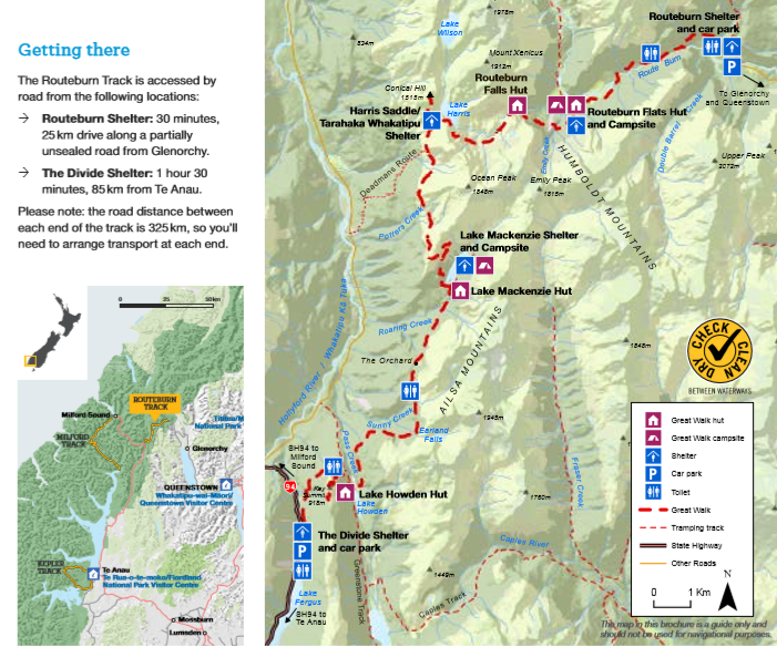
Our regular readers may have noted the numerous day segments of New Zealand’s great walks and rides that we had so far enjoyed on our trip. Whilst these had all been excellent, both of us were keen to get the full experience by completing an entire Great Walk, and over the next few days we would be doing just that on the Routeburn Track.
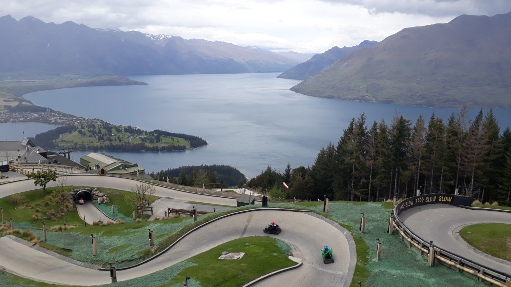
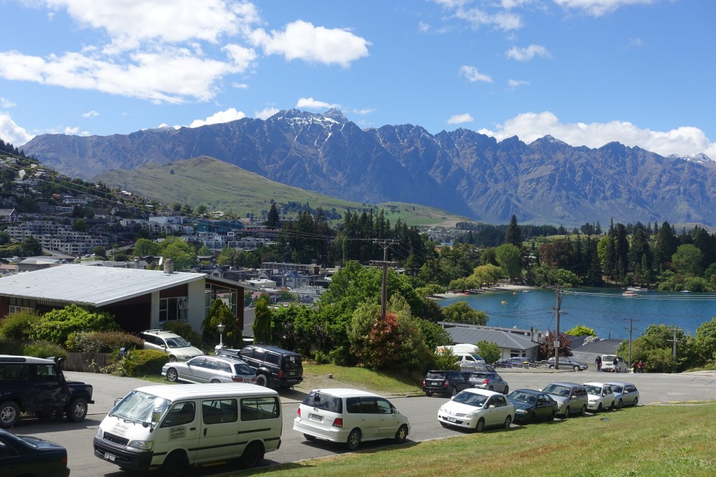
We had a full day in Queenstown before we would begin our trek, so made the most of a rainy day by heading up the gondola for a morning on the luge track above the town. The track was a bit slippery in the heavy rain but that made it more fun and caused a couple of exciting spins. The afternoon was filled with preparation for our trek; stocking up on snacks and dehydrated food, re-waterproofing our hiking gear, ‘signing in’ with the Department of Conservation and tracking down all the equipment hire we would need to pick up the following morning, We rewarded ourselves for our productive afternoon with a very delicious evening meal at the ‘Public Kitchen and Bar’ (don’t let the dull name put you off – the food was outstanding).
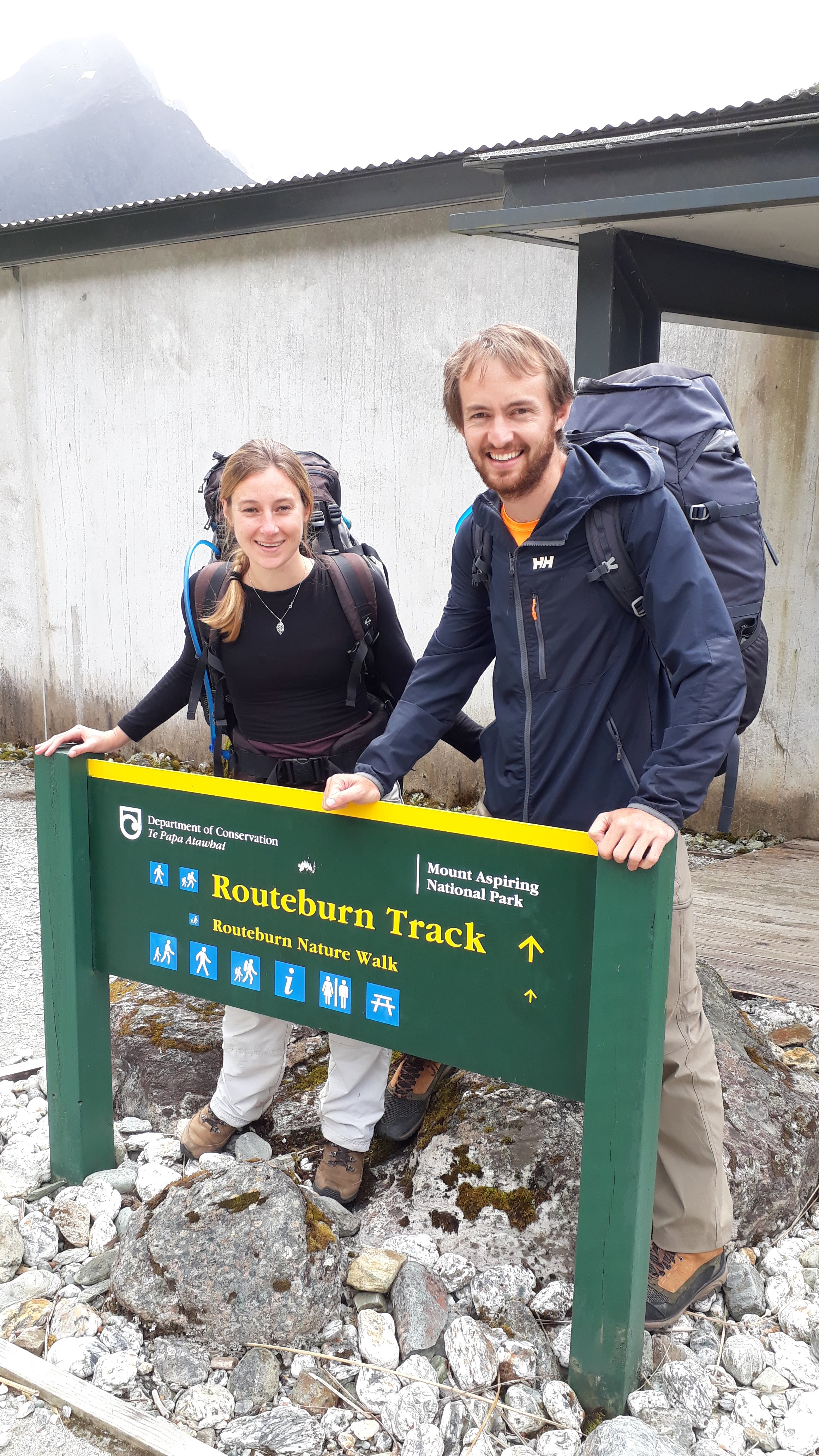
We woke the next day to blue skies and after picking up and packing the last of our gear, took our midday shuttle bus around the shoreline of the lightning bolt shaped Lake Wakatipu to the beginning of the Routeburn track, just north of Glenorchy (passing Isengard, Lothlorien Forest and The Misty Mountains enroute).
Whilst the clouds had started to gather as we took the first steps on our trek, we were fortunate to avoid rain on the first afternoon segment of the Routeburn.
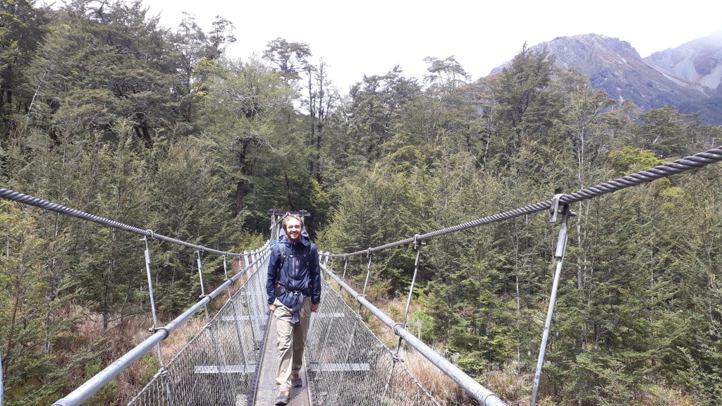
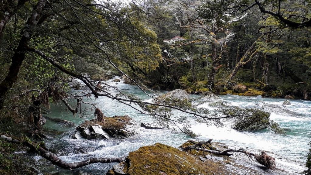
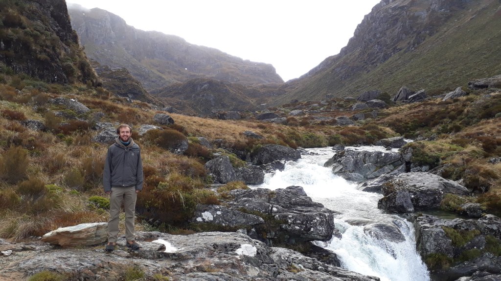
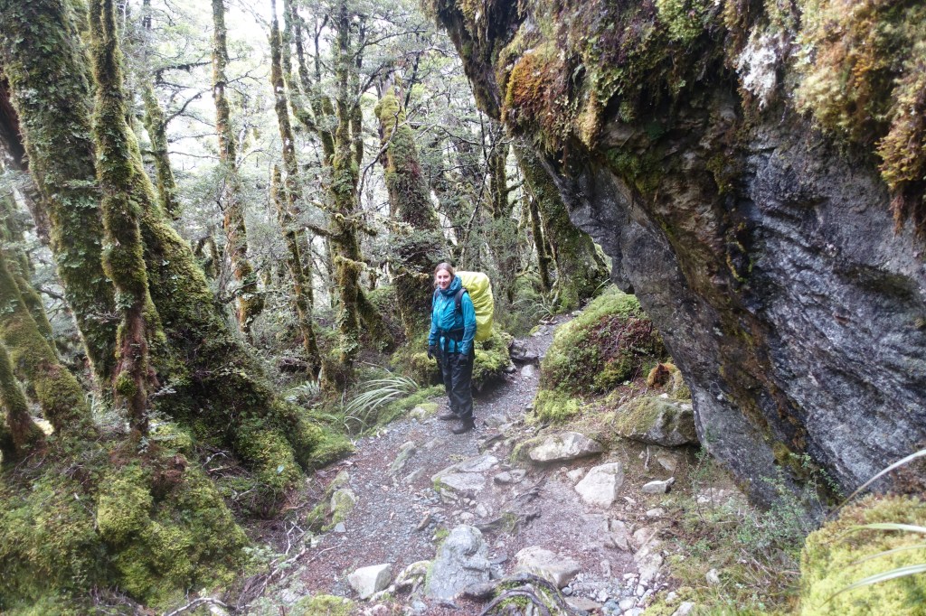
We started the trek with four friendly New Zealanders who had shared our shuttle bus from Queenstown, but before long we were alone in a moss covered forest surrounded by the sounds of nature. The well defined trail was punctuated with numerous suspension bridges taking us across the steep sided gorges and the impressive aquamarine Route Burn and its tributaries.
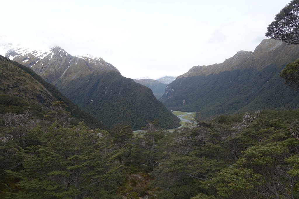
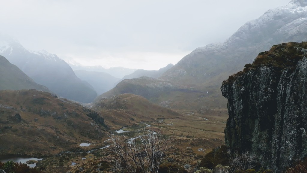
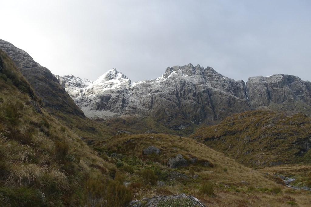
The trail wound gradually uphill for the first couple of hours before beginning to steepen as the trees thinned giving us a great view back across the isolated valley to the snowy peaks beyond.
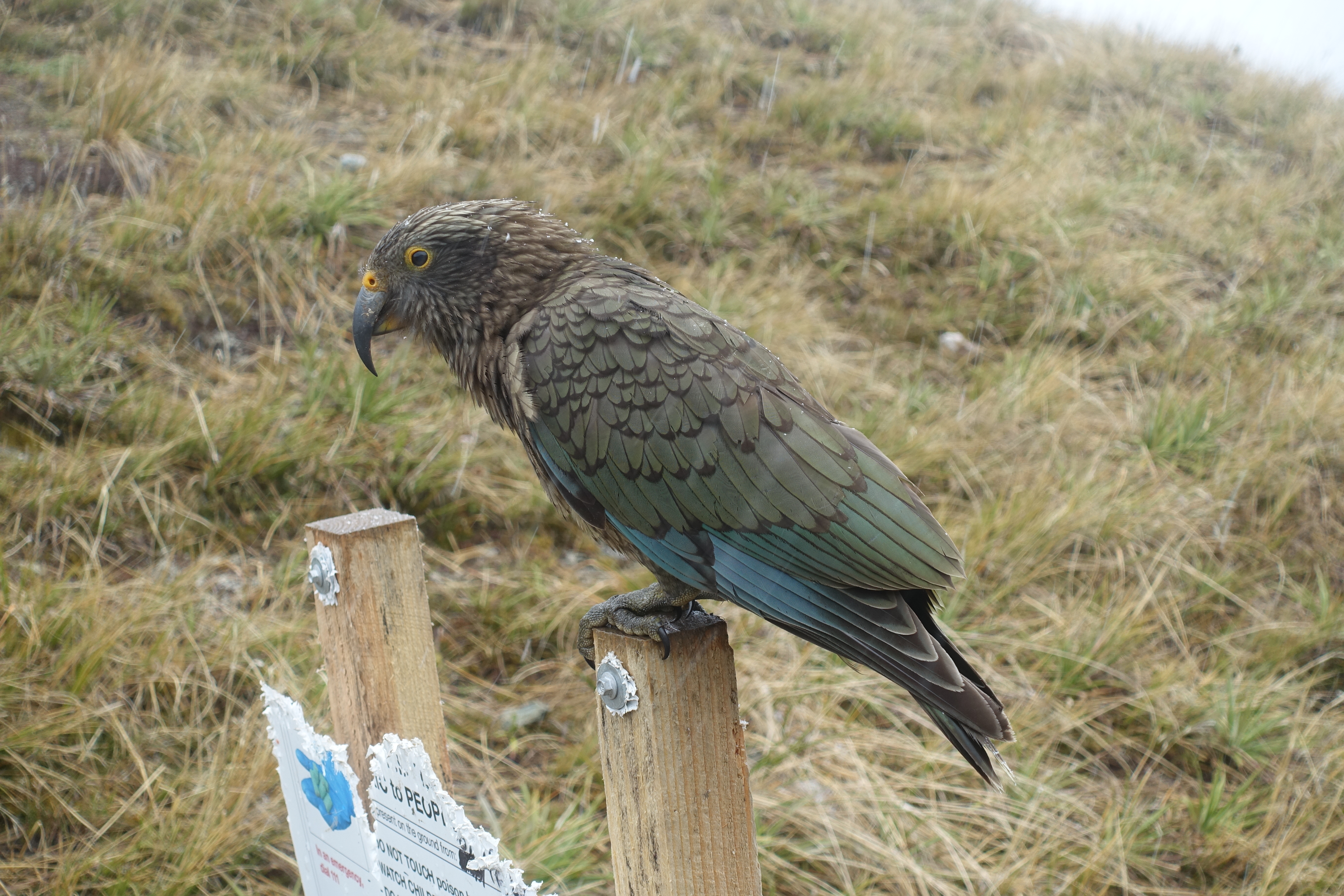
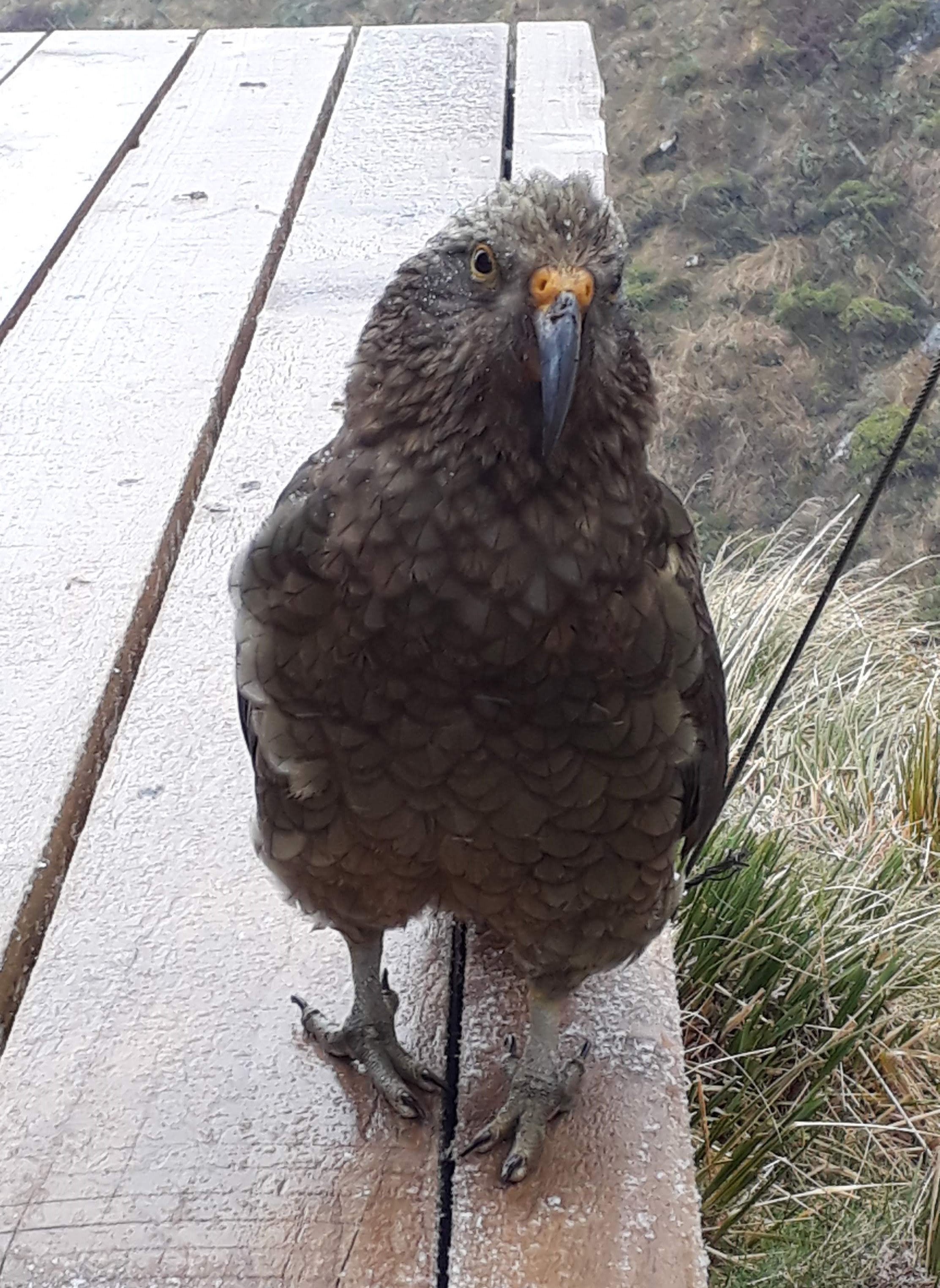
We arrived at the Routeburn Falls mountain hut in the late afternoon, picked ourselves out some bunks and headed into the kitchen where fellow walkers were warming themselves by the fire. The hut had a fantastic view of the valley, along with several inquisitive Kea (alpine parrots) who we were warned would steel any coats or shoes left outside!
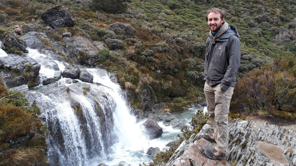
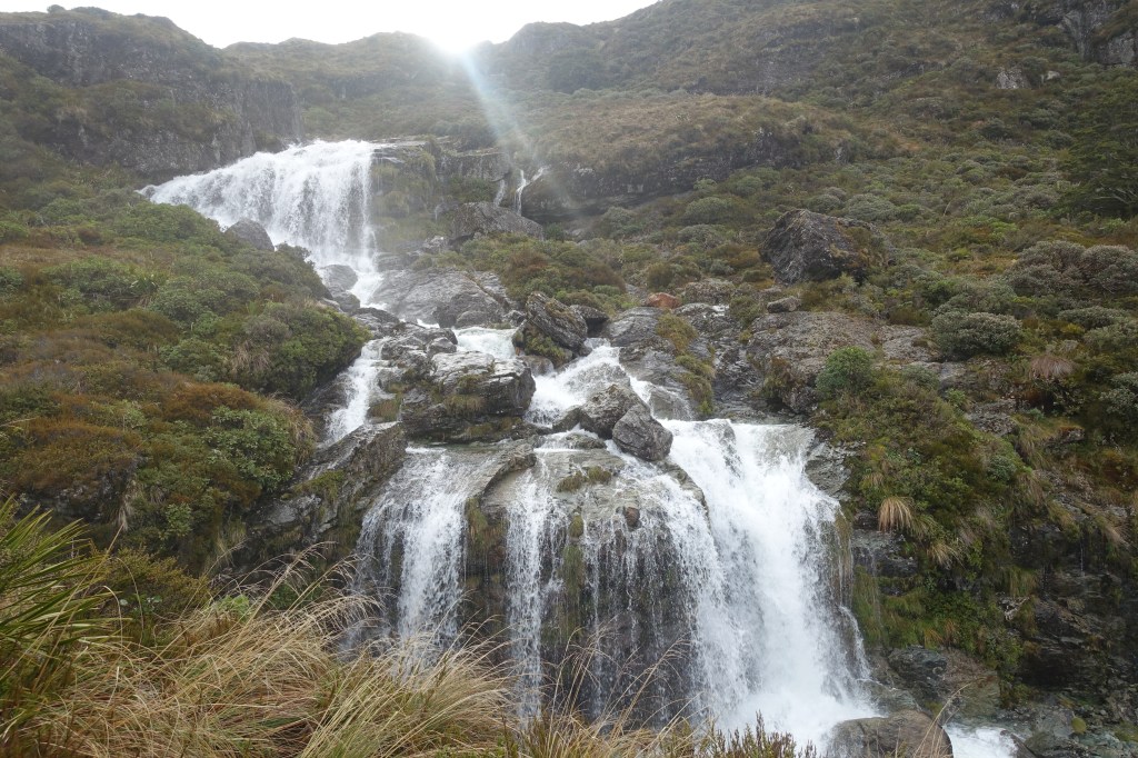
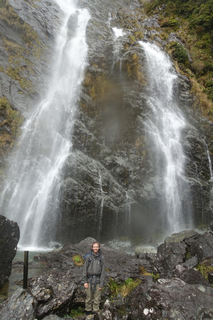
The hut ranger warned us that the weather over the next few days was going to be extremely soggy so we decided to make the most of the dry evening and go a little further up the path to the Routeburn Falls that give the mountain hut its name.
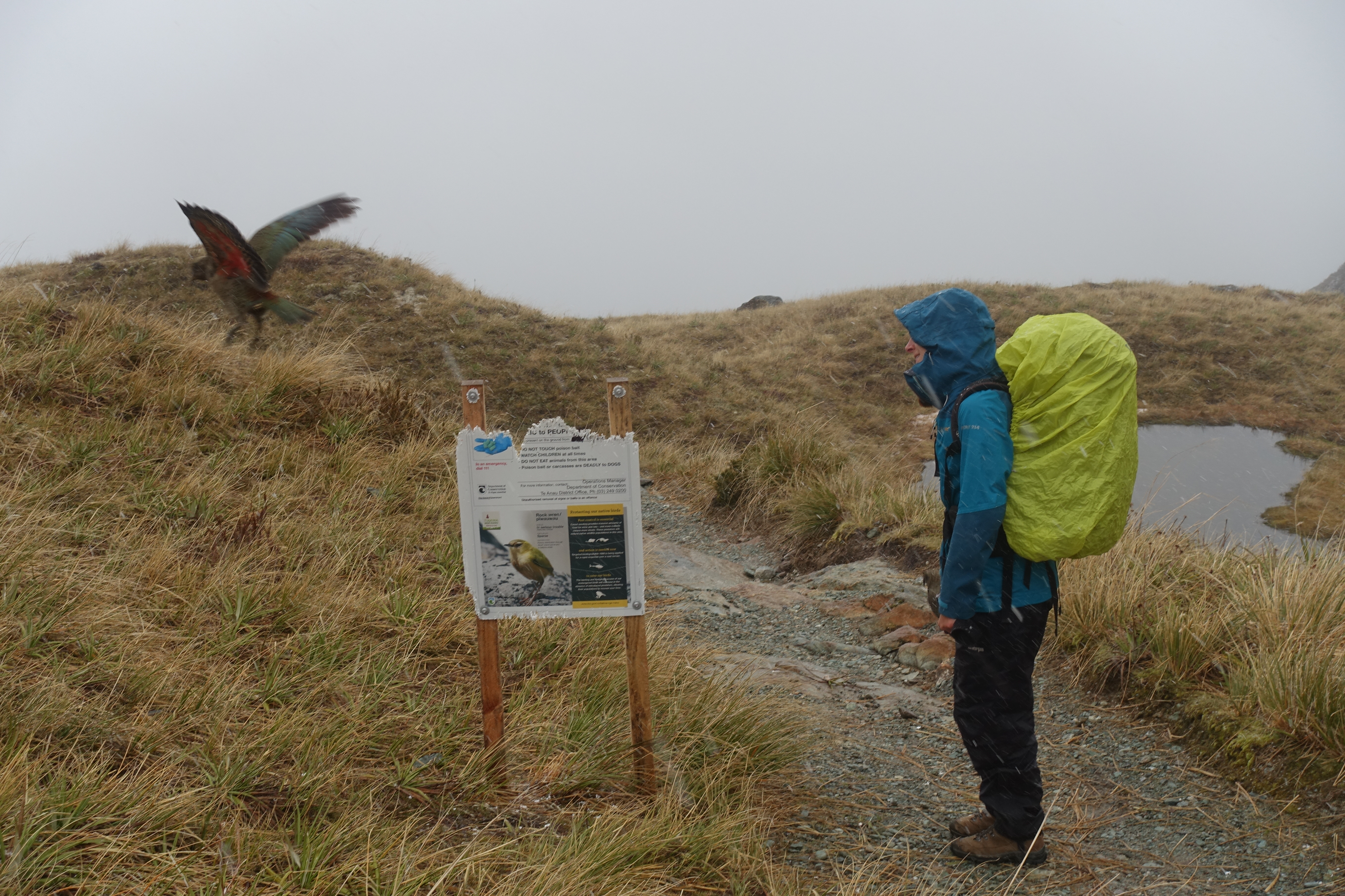
The next day was our longest of the walk and as the weather was due to get worse as the day progressed we decided to make an early start. By 8am the first flakes of snow began to fall and we turned to look out back towards the hut and say goodbye to the sun for the next couple of days.
We reached Harris Lake and the ‘saddle’ at the peak of the Routeburn Track before we were completely submerged by cloud and were entertained by some very bold Kea as we escaped the snow at the Harris Shelter to get fully kitted out in our wet weather gear.
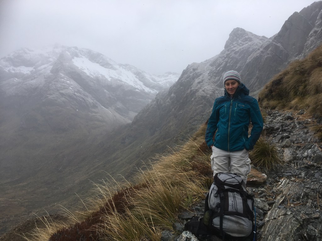
The far side of Harris Saddle was more exposed to the weather. On the plus side we would much rather walk in the snow than the rain, but it was disappointing not to be able to see the valley floor on this side of the mountain ridge, which we knew was somewhere in the cloudy mist below us. The cloud did break momentarily as we began our descent from the mountains to our lunchtime stop at Lake Mackenzie. Unfortunately the drop in altitude had also turned the snow to rain, but at least we had the cover of the forest again to protect us from the downpours.
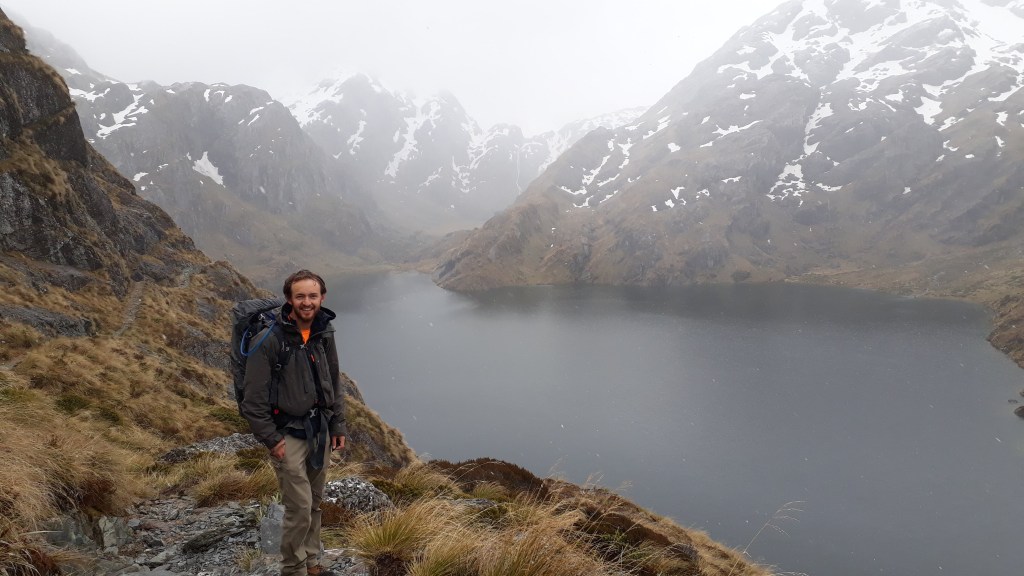
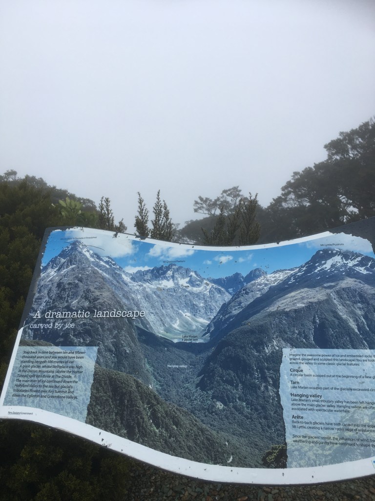
We reached Lake Howden hut, our overnight stay, at 3:30pm. With the fire not yet on we decided to drop off our packs and head over to Key Summit just 30 minutes away so we could claim at least one peak during our hike. We were reliably informed that, in good weather, Key Summit has the most spectacular views of the mountains along the Routeburn Track – but we had to settle for the picture on the notice board!
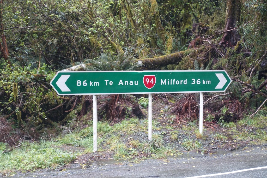
The rain continued all through the night and with just an hours walk to reach The Divide (the end of the Routeburn Track) we treated ourselves to a lazy morning, enjoying an extended breakfast before we set off into the rain. The rainwater was pouring down the tracks as we made our way to the pick up point, but fortunately there was a large shelter at the end for us to dry off and warm up in as we waited for the bus to Milford Sound.