After leaving Abel Tasman we drove south to the former gold mining settlement at Lyell for an overnight stop and a chance to plan our route over the next few days. We had five days before we needed to be in Queenstown and various sights and activities along our route. One adrenaline activity neither of us had tried before was white water rafting and we were keen to fit this into our New Zealand Itinerary. It just so happened that the Buller River (in the gorge below our campsite) was littered with grade 4 rapids.
As a result the next morning saw us join Wild River Rafting along with two other couples. It turned out that our last minute booking had been incredibly lucky. All rafting the week before had been cancelled as the river was too high (whilst we’d been basking in the sun in Nelson and Abel Tasman, the west coast had been inundated by storms) and with rain forecasted in the afternoon it was likely to rise again. The high river meant that alongside our rafting captain James we were being joined by Bruce in a safety boat. Between these two guys and Marty watching from the bank they must have had over a century of experience riding the Buller River so we knew we were in safe hands, but that didn’t stop us both feeling slightly nervous as they went through the various ways we could fall out the boat and what to do in each circumstance.
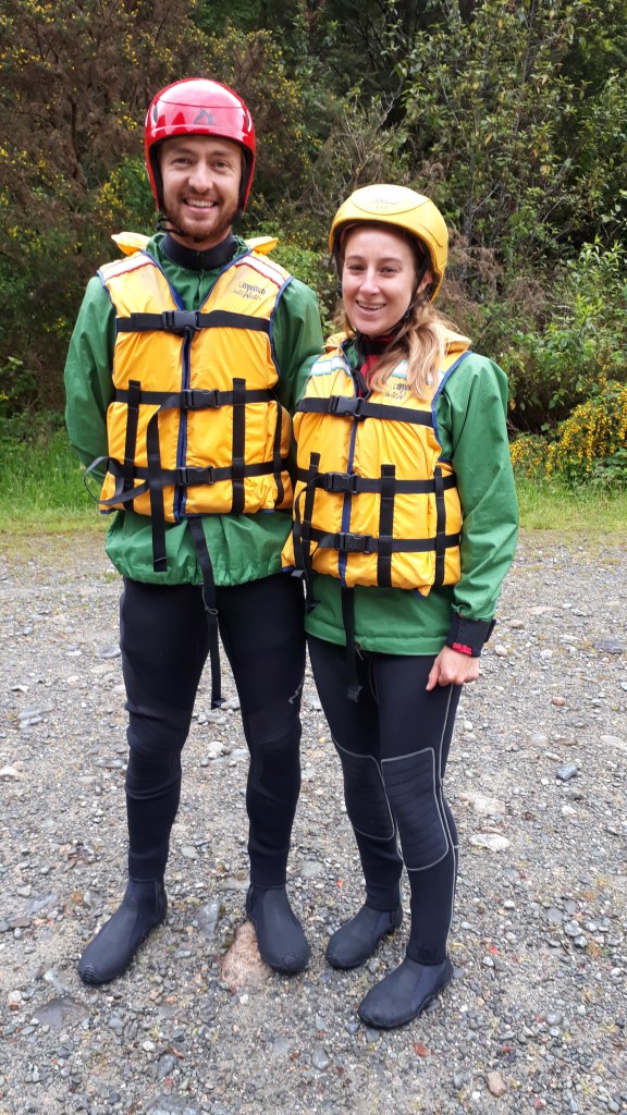
After a few minutes practicing rowing and stowing oars safely on James’ command (who knew a rafting instructor could be so similar to any army drill sergent!) we set off down the swollen river. James was a mine of information, full of the gold mining history of the area along with information about the changeable nature of the river (which could rise by 15m in 24 hours). He also advised us of places we should visit on our journey down the west coast. Soon we approached the first rapids named ‘the earthquake rapids’ due to the tectonics that had led to the huge landslide that formed them. The next few seconds were full of shouted instructions from James, cascading water and frantic rowing. It was thrilling and manic but we made it through without incident and regrouped at the bank by a waterfall whilst James and Marty studied the next stretch of river, picking out the best route. Then we were off again, navigating rocks, whirlpools and 3m high waves.
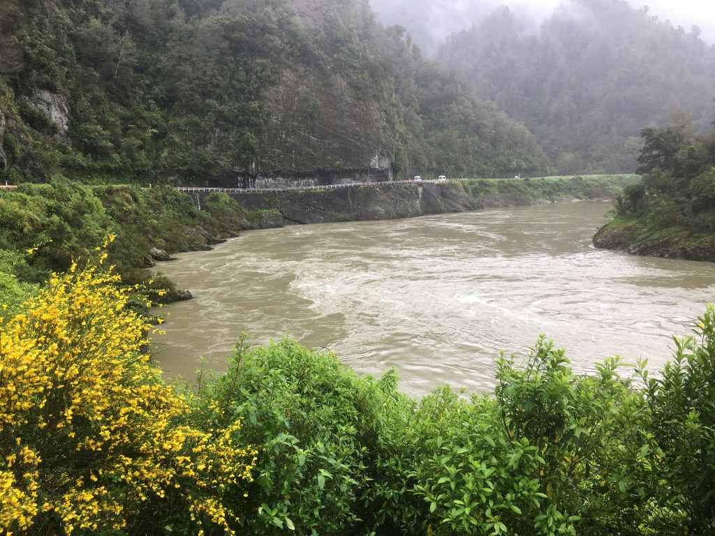
We had a couple of close shaves, including almost missing a safe ‘river observation point’ (which may have had something to do with Gareth rowing forwards instead of backwards), and going backwards down the largest rapid (which neither of our guides had ever done before!). Then all of a sudden we were through, the river calmed and we were all still in the boat (at least until we were given the all clear to jump in and float downstream for a stretch!). As we hoisted the rafts out of the water the first drops of rain started to fall – the rafting window was over for the next few days!
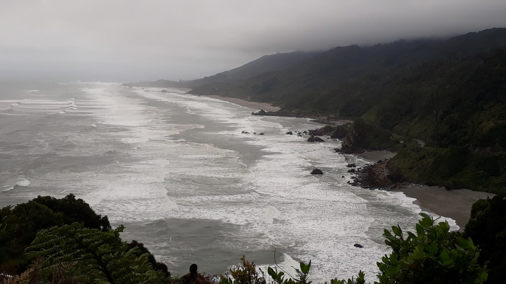
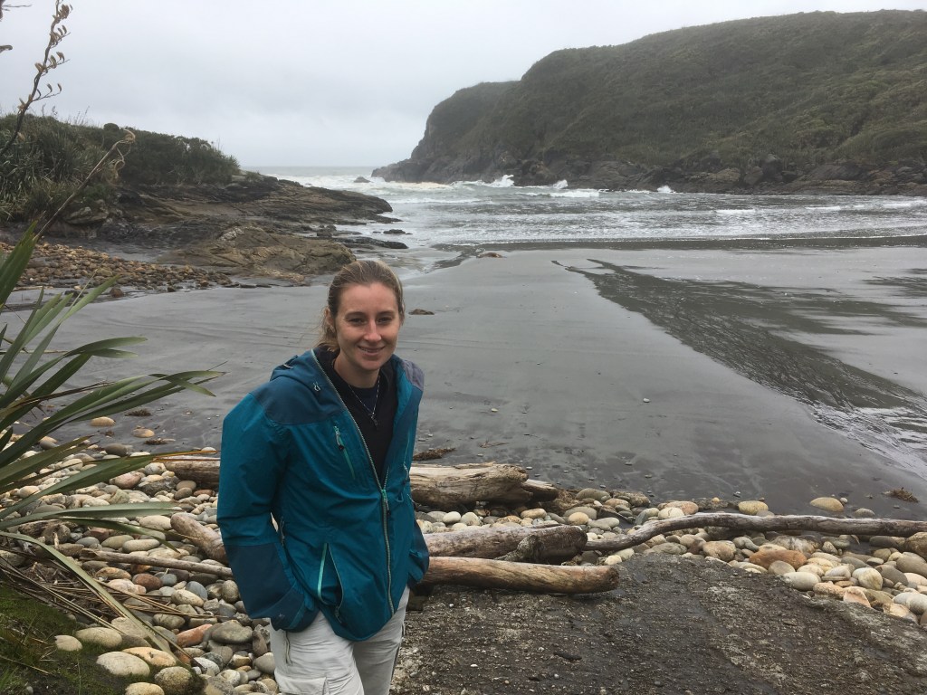
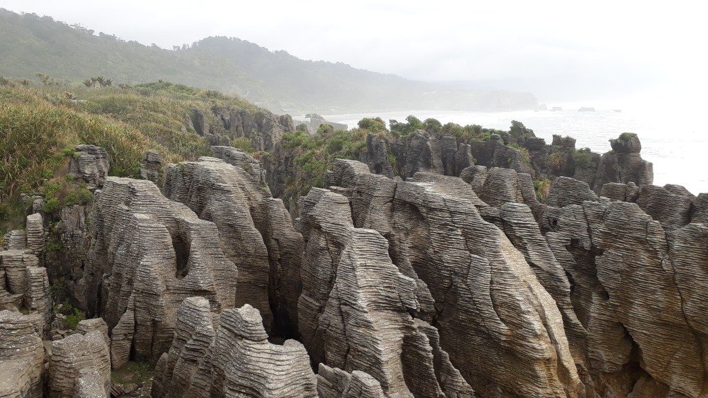
That afternoon we hit the coast and headed south, stopping at Carters Beach (where a natural harbour was vital to the early days of European colonisation of the south island) and Pancake Rocks (amazing limestone formations in horizontal layers). The coastline was wild, wet, beautiful and made us think about the British coastal cliffs on the other side of the world.
At Greymouth we left the coast for the evening and headed part way up a soggy Arthurs Pass (which climbs over the mountains to Christchurch on the East coast) to a campsite at Jacksons surrounded by glow worm walks. One dell was about 10 feet from our campsite.
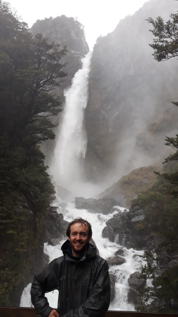
One phrase we would hear frequently over the next week was that rainy days are the perfect weather for waterfalls. So despite the continued rain the next morning we carried on to Arthurs Pass village for an hour long walk to Bridal Veil Falls and Devil’s Punchbowl Falls both of which were certainly thundering impressively.
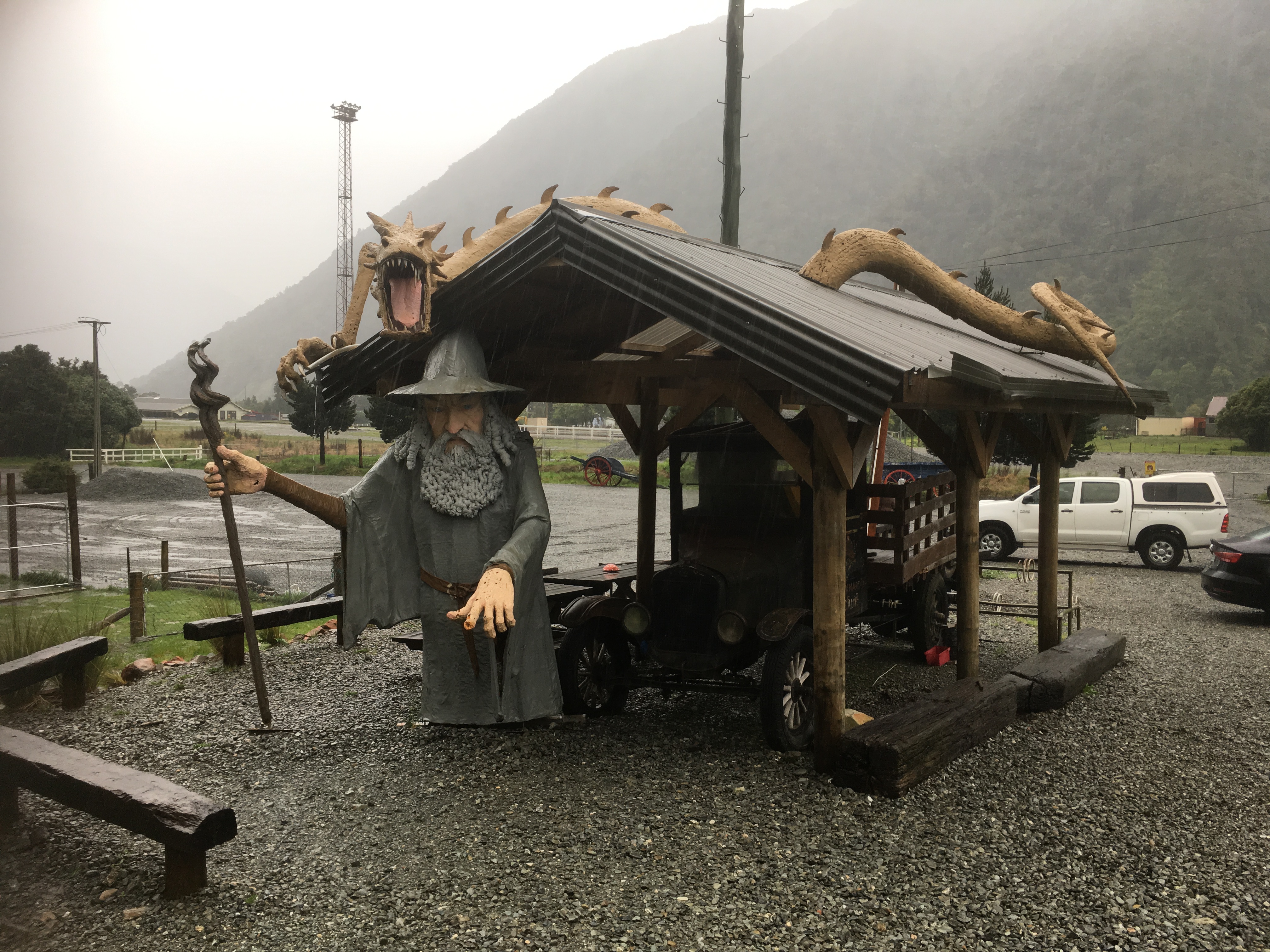
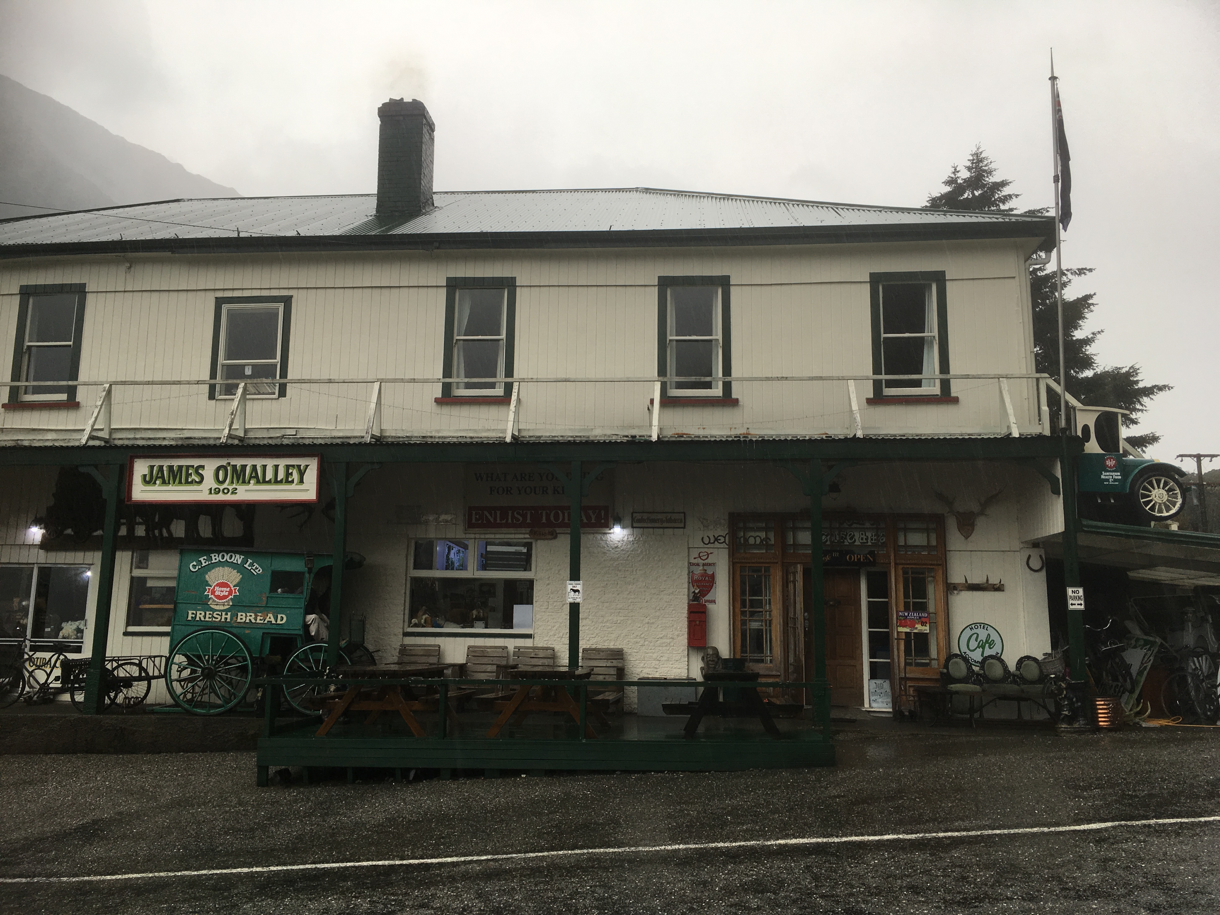
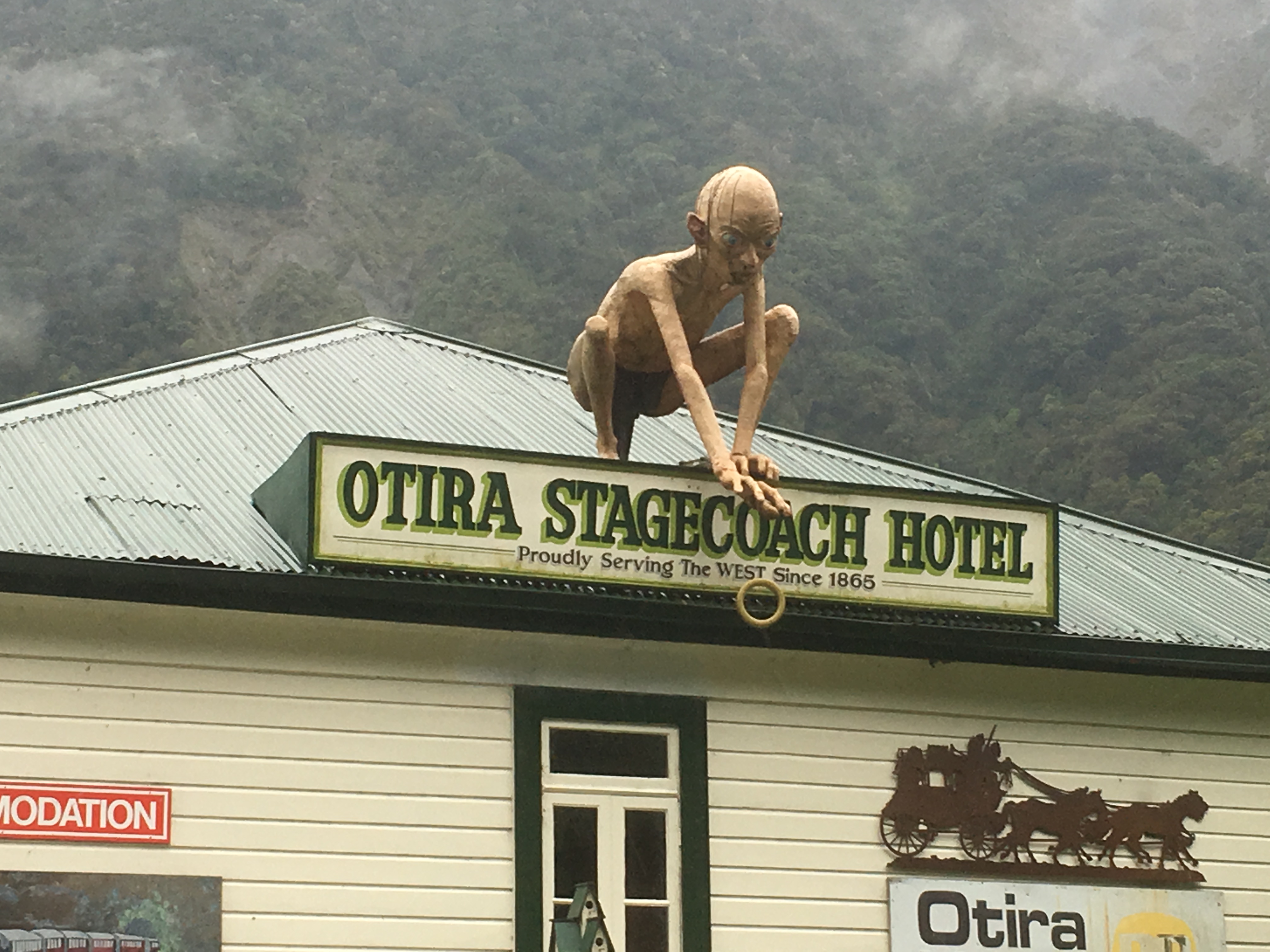
On our return trip back to the west coast we took shelter in an eccentric old hotel for coffee in the small hamlet of Otira, followed by some very disappointing whitebait fritters in Hokitika on the coast before driving most of the afternoon to arrive at Franz Josef Glacier village that evening.
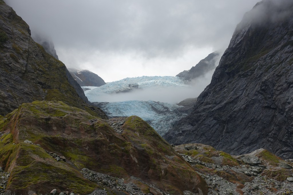
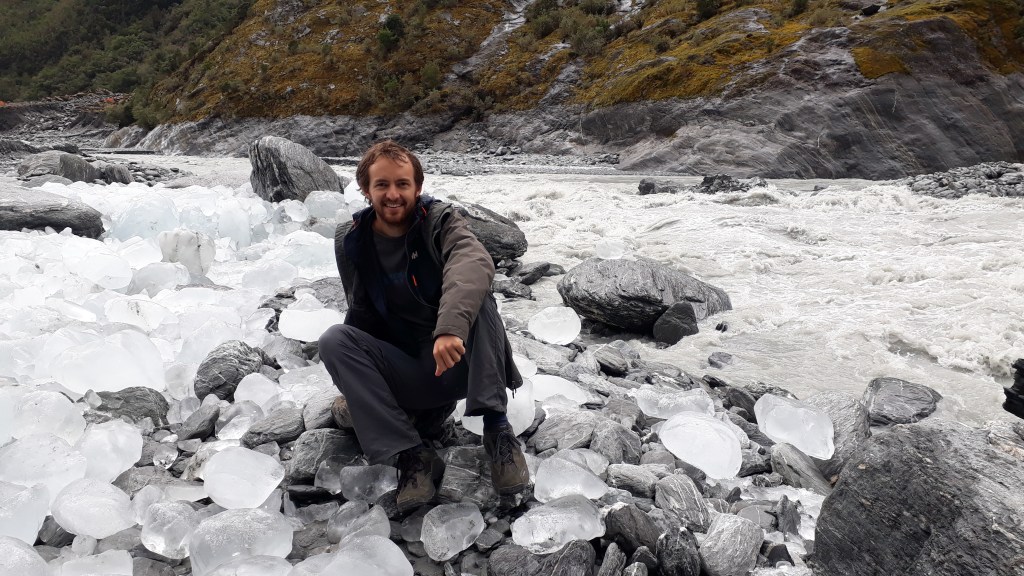
The next morning was Glacier time and we drove and then hiked up the valley to the base of the Franz Joseph Glacier. We were greeted at the car park by a friendly Kea, who was being man-marked by a park ranger possibly looking to ring its leg. Just as it had been in Canada, it was amazing to see how far the ice has retreated since people first started coming here. Our walk in was a couple of kilometres and the glacier had filled the valley in the 19th Century.
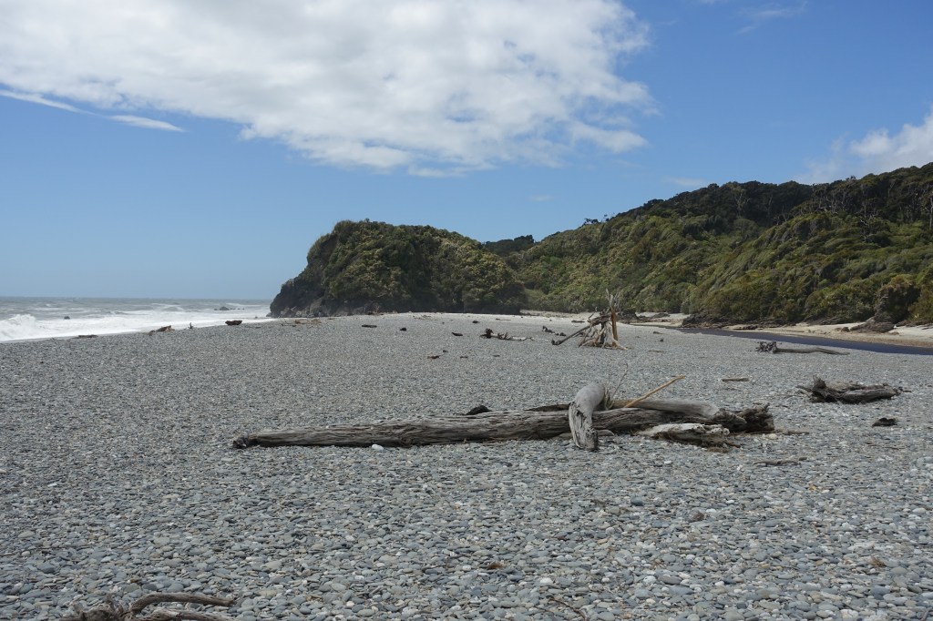
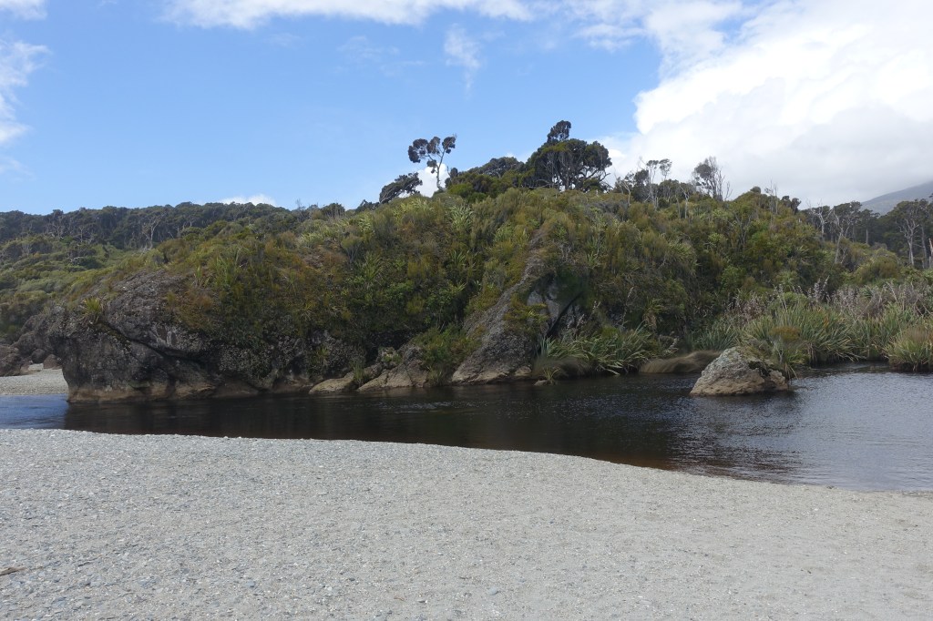
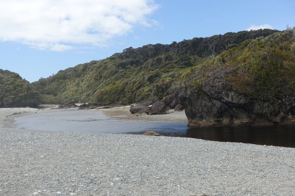
We considered trying to visit neighbouring Fox Glacier, however both the roads into the gorge were closed so we continued our journey down the coast towards the Haast Pass and our journey inland. We made one final stop at Ship Creek (fortunately we didn’t get stuck there without a paddle) and although it was windy, we were able to take advantage of some rare blue sky.